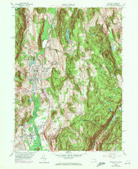
1958 Map of Pawling
USGS Topo · Published 1972About this map
Penn Central tracks bisect the valley between Pawling and Patterson, running alongside the expansive wetlands of The Great Swamp. This landscape is defined by the sharp contrast between the low-lying basin and the ridges of the New York-Connecticut border, where Hammersly Ridge and Quaker Hill rise above the agricultural and residential pockets. Cultural landmarks like the Trinity-Pawling Sch and an Observatory near Seeley Hill mark the higher ground, while the eastern portion of the map transitions into the woodland of Wooster Mountain State Forest. Small, persistent settlements such as Hurd Corners and Baker Corner dot the intersections of Quaker Hill Road and Hard Scrabble Road, reflecting the 1950s rural character of southern Dutchess County and its neighboring Connecticut reaches.
Find a feature on this map
61 named features on this map. Tap any name to fly to it.
Don’t see what you’re looking for? This feature index may not catch every label — zoom into the map to look around manually.
Map Details
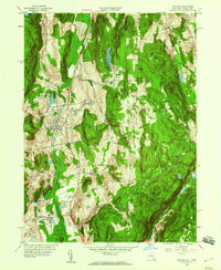
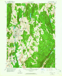
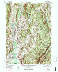
Editions of this 1958 Pawling Map
4 editions found
Other maps of this area

1892 · Danbury
USGS Topo · 1:62,500

1892 · New Milford
USGS Topo · 1:62,500

1892 · Carmel
USGS Topo · 1:62,500

1893 · Carmel
USGS Topo · 1:62,500

1893 · New Milford
USGS Topo · 1:62,500

1893 · Clove
USGS Topo · 1:62,500

1894 · Clove
USGS Topo · 1:62,500

1894 · Carmel
USGS Topo · 1:62,500

1898 · Clove
USGS Topo · 1:62,500

1901 · Clove
USGS Topo · 1:62,500