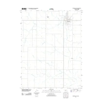
2011 Map of Pawnee City
USGS Topo · Published 2011About this map
Pawnee City serves as the focal point of this southeastern Nebraska landscape, situated at the intersection of several local routes including Road P31 and Road 324. The town is well-established with essential civic infrastructure, including the Pawnee City Post Office and the Pawnee City Municipal Airport located just to the northwest. The surrounding terrain is defined by a dendritic network of waterways that drain toward the south, primarily feeding into Turkey Creek.
Find a feature on this map
15 named features on this map. Tap any name to fly to it.
Don’t see what you’re looking for? This feature index may not catch every label — zoom into the map to look around manually.
Map Details
Editions of this 2011 Pawnee City Map
This is the sole edition of this map. No revisions or reprints were ever made.
Other maps of this area

1889 · Seneca
USGS Topo · 1:125,000

1894 · Seneca
USGS Topo · 1:125,000

1955 · Manhattan
USGS Topo · 1:250,000

1955 · Lincoln
USGS Topo · 1:250,000

1956 · Manhattan
USGS Topo · 1:250,000

1957 · Manhattan
USGS Topo · 1:250,000

1957 · Lincoln
USGS Topo · 1:250,000

1958 · Lincoln
USGS Topo · 1:250,000

1965 · Pawnee City
USGS Topo · 1:24,000

1965 · Burchard
USGS Topo · 1:24,000