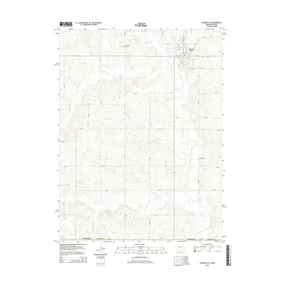
2014 Map of Pawnee City
USGS Topo · Published 2014About this map
Pawnee City serves as the focal point of this Pawnee County landscape, where the street grid transitions into a vast network of section roads and drainage basins. The town itself is clearly defined by its numbered streets, from 4th St up to 14th St, alongside Boston St. Just northwest of the town center, the Pawnee City Municipal Airport occupies a prominent position on the higher ground.
Find a feature on this map
33 named features on this map. Tap any name to fly to it.
Don’t see what you’re looking for? This feature index may not catch every label — zoom into the map to look around manually.
Map Details
Editions of this 2014 Pawnee City Map
This is the sole edition of this map. No revisions or reprints were ever made.
Other maps of this area

1889 · Seneca
USGS Topo · 1:125,000

1894 · Seneca
USGS Topo · 1:125,000

1955 · Manhattan
USGS Topo · 1:250,000

1955 · Lincoln
USGS Topo · 1:250,000

1956 · Manhattan
USGS Topo · 1:250,000

1957 · Manhattan
USGS Topo · 1:250,000

1957 · Lincoln
USGS Topo · 1:250,000

1958 · Lincoln
USGS Topo · 1:250,000

1965 · Pawnee City
USGS Topo · 1:24,000

1965 · Burchard
USGS Topo · 1:24,000