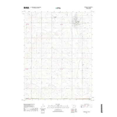
2017 Map of Pawnee City
USGS Topo · Published 2017About this map
Pawnee City serves as the central hub of this Southeast Nebraska landscape, organized by a precise grid of residential streets including Broadway St, Central St, and Marion St. The settlement is defined by its position north of the Nebraska State Line Rd, situated amidst a complex drainage network where Turkey Cr and its tributaries, such as W Br Turkey Cr, carve through the terrain. Evidence of local civic life and history is found at the Pawnee City Municipal Airport and Evergreen Cem.
Find a feature on this map
42 named features on this map. Tap any name to fly to it.
Don’t see what you’re looking for? This feature index may not catch every label — zoom into the map to look around manually.
Map Details
Editions of this 2017 Pawnee City Map
This is the sole edition of this map. No revisions or reprints were ever made.
Other maps of this area

1889 · Seneca
USGS Topo · 1:125,000

1894 · Seneca
USGS Topo · 1:125,000

1955 · Manhattan
USGS Topo · 1:250,000

1955 · Lincoln
USGS Topo · 1:250,000

1956 · Manhattan
USGS Topo · 1:250,000

1957 · Manhattan
USGS Topo · 1:250,000

1957 · Lincoln
USGS Topo · 1:250,000

1958 · Lincoln
USGS Topo · 1:250,000

1965 · Pawnee City
USGS Topo · 1:24,000

1965 · Burchard
USGS Topo · 1:24,000