Loading...
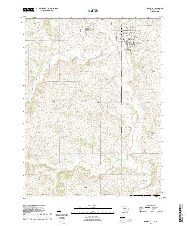
Loading map...2021 Map of Pawnee City
USGS Topo · Published 2021About this map
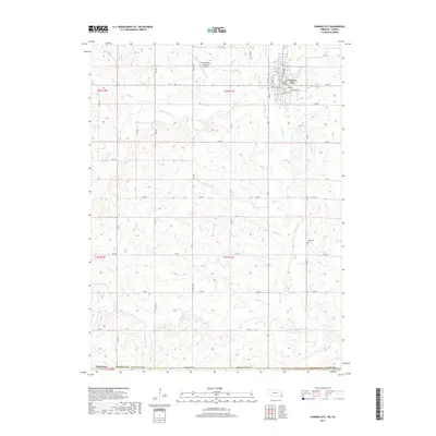
Pawnee City serves as the focal point of this southeastern Nebraska landscape, situated just north of the border with Kansas. The town's grid is anchored by the Pawnee County Courthouse and supported by local infrastructure like the Pawnee City Municipal Airport to the west. Local genealogy is well-served by the inclusion of the Pawnee City Cem and Evergreen Cem, which provide specific points of interest for family historians.
Find a feature on this map
43 named features on this map. Tap any name to fly to it.
Don’t see what you’re looking for? This feature index may not catch every label — zoom into the map to look around manually.
Map Details
Date Portrayed2021
Date Published2021
PublisherU.S. Geological Survey
Map TypeTopographic
Scale1:24,000
Physical Dimensions24 x 29 inches
Editions of this 2021 Pawnee City Map
This is the sole edition of this map. No revisions or reprints were ever made.
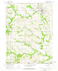
Historical Maps of Pawnee City Through Time
5 maps found
Featured Locations
Source Details
SourceU.S. Geological Survey
CopyrightPublic Domain