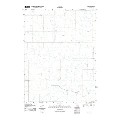
2010 Map of Pawnee
USGS Topo · Published 2010About this map
Pawnee sits at the heart of this agricultural landscape in Harrison County, where the terrain is defined by the winding paths of Wolf Creek and the West Fork Big Creek. The settlement of Bloomington marks the northern edge of the survey area, connected by a network of rural routes such as Co Rd J55 and Co Rd YY. This 2010 map provides a clear view of the longstanding rural infrastructure that supports the local community, from small-scale farming to local transit.
Find a feature on this map
34 named features on this map. Tap any name to fly to it.
Don’t see what you’re looking for? This feature index may not catch every label — zoom into the map to look around manually.
Map Details
Editions of this 2010 Pawnee Map
This is the sole edition of this map. No revisions or reprints were ever made.
Other maps of this area

1945 · Mount Ayr
USGS Topo · 1:62,500

1945 · Lamoni
USGS Topo · 1:62,500

1947 · Lamoni
USGS Topo · 1:62,500

1947 · Blythedale
USGS Topo · 1:62,500

1947 · Mount Ayr
USGS Topo · 1:62,500

1948 · Bethany
USGS Topo · 1:62,500

1954 · Centerville
USGS Topo · 1:250,000

1955 · Nebraska City
USGS Topo · 1:250,000

1957 · Nebraska City
USGS Topo · 1:250,000

1957 · Centerville
USGS Topo · 1:250,000