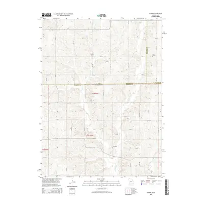
2014 Map of Pawnee
USGS Topo · Published 2014About this map
Pawnee serves as the central point for this agricultural region straddling the border between Iowa and Missouri. The terrain is defined by a dense network of watercourses, including Wolf Cr and W Fork Big Cr, which have carved the landscape into a series of ridges and valleys. This 2014 survey reveals a sparse settlement pattern dominated by the township and range system, with gravel roads like W 150th St and 290th St providing the primary transit routes across the state line.
Find a feature on this map
34 named features on this map. Tap any name to fly to it.
Don’t see what you’re looking for? This feature index may not catch every label — zoom into the map to look around manually.
Map Details
Editions of this 2014 Pawnee Map
This is the sole edition of this map. No revisions or reprints were ever made.
Other maps of this area

1945 · Mount Ayr
USGS Topo · 1:62,500

1945 · Lamoni
USGS Topo · 1:62,500

1947 · Lamoni
USGS Topo · 1:62,500

1947 · Blythedale
USGS Topo · 1:62,500

1947 · Mount Ayr
USGS Topo · 1:62,500

1948 · Bethany
USGS Topo · 1:62,500

1954 · Centerville
USGS Topo · 1:250,000

1955 · Nebraska City
USGS Topo · 1:250,000

1957 · Nebraska City
USGS Topo · 1:250,000

1957 · Centerville
USGS Topo · 1:250,000