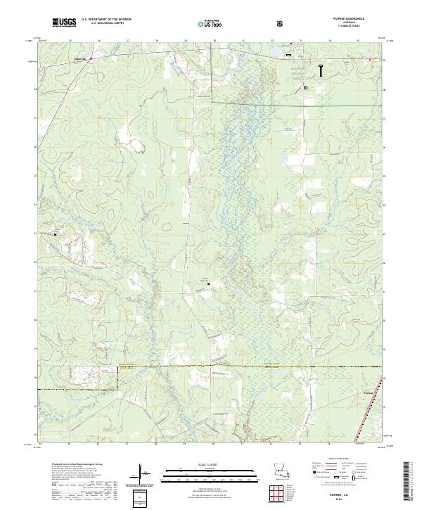
2024 Map of Pawnee
USGS Topo · Published 2024About this map
Kisatchie National Forest dominates the landscape of this Central Louisiana region, where the Calcasieu River and its intricate tributaries carve through the timberlands. The map reveals a deeply personal geography of the Rapides Parish and Allen Parish border, defined by dozens of family-named roads such as Mitch Johnson Rd, Avon Willis Rd, and Man Willis Rd. These routes connect small rural centers like Union Hill and Pawnee with several local landmarks of genealogical importance.
Find a feature on this map
61 named features on this map. Tap any name to fly to it.
Don’t see what you’re looking for? This feature index may not catch every label — zoom into the map to look around manually.
Map Details
Editions of this 2024 Pawnee Map
This is the sole edition of this map. No revisions or reprints were ever made.
Other maps of this area

1935 · Beaver
USGS Topo · 1:31,680

1935 · Pawnee
USGS Topo · 1:31,680

1935 · Oakdale
USGS Topo · 1:31,680

1942 · Oakdale
USGS Topo · 1:62,500

1943 · Leander
USGS Topo · 1:62,500

1947 · Steep Gully
USGS Topo · 1:31,680

1947 · Elizabeth
USGS Topo · 1:31,680

1948 · Elizabeth
USGS Topo · 1:24,000

1949 · Glenmora
USGS Topo · 1:31,680

1951 · Steep Gully
USGS Topo · 1:24,000