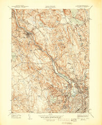
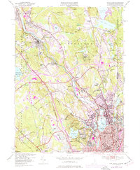
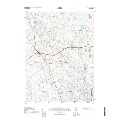
1944 Map of Pawtucket
USGS Topo · Published 1944About this map
Industrial developments along the Blackstone River define the character of this mid-century landscape, which follows the heavy rail corridor of the New York New Haven and Hartford railroad. The map centers on the dense manufacturing hubs of Pawtucket, Lonsdale, and Valley Falls, where the historic Old Slater Mill stands as a landmark of American industrial history. Northward, the terrain transitions into the wooded hills of the Lincoln Woods Reservation and the sprawling estates near the Oistercian Monastery.
Find a feature on this map
74 named features on this map. Tap any name to fly to it.
Don’t see what you’re looking for? This feature index may not catch every label — zoom into the map to look around manually.
Map Details
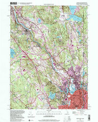
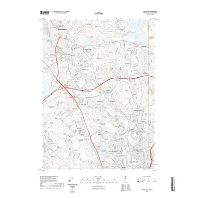
Editions of this 1944 Pawtucket Map
3 editions found
Historical Maps of Pawtucket Through Time
10 maps found

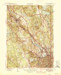
1938 Pawtucket
Providence County, RI
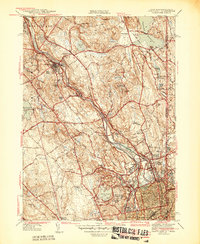
1942 Pawtucket
Providence County, RI
1944 Pawtucket
Providence County, RI
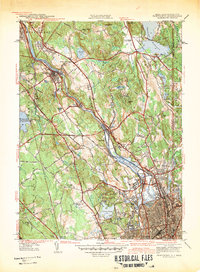
1949 Pawtucket
Providence County, RI
1998 Pawtucket
Providence County, RI
2012 Pawtucket
Providence County, RI
2015 Pawtucket
Providence County, RI
2018 Pawtucket
Providence County, RI
2021 Pawtucket
Providence County, RI
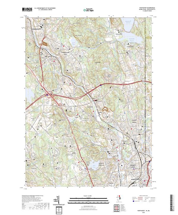
2024 Pawtucket
Providence County, RI