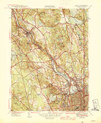
1944 Map of Pawtucket
USGS Topo · Published 1944About this map
The Blackstone River valley dominates this mid-century landscape, tracing a corridor of industrial and social history through Cumberland Hill, Manville, and Valley Falls. The map documents a complex network of transportation and industry, where the New York New Haven and Hartford RR and the Providence and Worcester RR parallel the river's course. Significant local institutions are visible, including the Cistercian Monastery and the expansive Lincoln Woods Reservation, which surrounds Olney Pond. To the east, the Abbott Run valley provides a contrast with its chain of reservoirs like Pawtucket Reservoir and Happy Hollow Pond. This survey, conducted just before the close of World War II, preserves the locations of numerous schools such as Garvin Sch and several burial grounds, including the Polish Cem and Moshassuck Cem.
Find a feature on this map
80 named features on this map. Tap any name to fly to it.
Don’t see what you’re looking for? This feature index may not catch every label — zoom into the map to look around manually.
Map Details
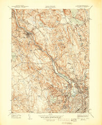
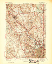
Editions of this 1944 Pawtucket Map
3 editions found
Other maps of this area

1886 · Blackstone
USGS Topo · 1:62,500

1887 · Franklin
USGS Topo · 1:62,500

1887 · Providence
USGS Topo · 1:62,500

1889 · Providence
USGS Topo · 1:62,500

1889 · Blackstone
USGS Topo · 1:62,500

1889 · Franklin
USGS Topo · 1:62,500

1889 · Burrillville
USGS Topo · 1:62,500

1893 · Franklin
USGS Topo · 1:62,500

1893 · Blackstone
USGS Topo · 1:62,500

1894 · Burrillville
USGS Topo · 1:62,500