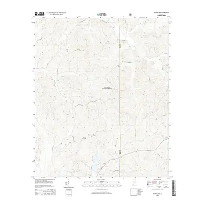
2014 Map of Payne Lake
USGS Topo · Published 2014About this map
Talladega National Forest dominates this landscape along the border of Hale and Bibb counties. This 2014 edition illustrates a region defined by its timberland and a network of named forest roads, such as Nat'l Forest Road 705 and Nat'l Forest Road 710. The topography is dissected by numerous waterways, including S Sandy Cr, Troublesome Br, and Fivemile Cr, which flow through the wooded hills.
Find a feature on this map
34 named features on this map. Tap any name to fly to it.
Don’t see what you’re looking for? This feature index may not catch every label — zoom into the map to look around manually.
Map Details
Editions of this 2014 Payne Lake Map
This is the sole edition of this map. No revisions or reprints were ever made.
Other maps of this area

1899 · Brookwood
USGS Topo · 1:125,000

1924 · Tuscaloosa
USGS Topo · 1:62,500

1926 · Tuscaloosa
USGS Topo · 1:62,500

1931 · Cottondale
USGS Topo · 1:48,000

1934 · Cottondale
USGS Topo · 1:62,500

1953 · Montgomery
USGS Topo · 1:250,000

1953 · Birmingham
USGS Topo · 1:250,000

1956 · Birmingham
USGS Topo · 1:250,000

1956 · Montgomery
USGS Topo · 1:250,000

1957 · Birmingham
USGS Topo · 1:250,000