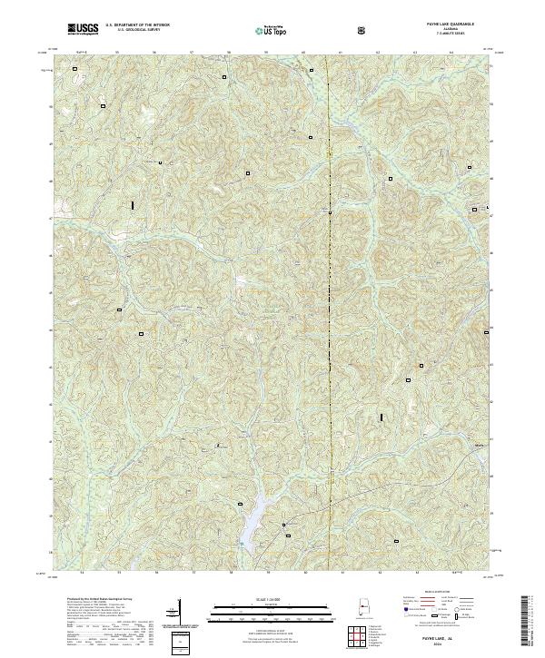
2024 Map of Payne Lake
USGS Topo · Published 2024About this map
The dense woodlands of the Talladega National Forest dominate this section of the West Alabama backcountry along the border of Hale and Bibb Counties. The landscape is defined by a network of drainage systems, including South Sandy Creek and Fivemile Creek, which carve through the terrain beneath a complex system of forestry roads such as Nat'l Forest Road 710 and Nat'l Forest Road 704. This geography shaped a dispersed pattern of settlement, leaving behind small, isolated landmarks of local genealogy.
Find a feature on this map
28 named features on this map. Tap any name to fly to it.
Don’t see what you’re looking for? This feature index may not catch every label — zoom into the map to look around manually.
Map Details
Editions of this 2024 Payne Lake Map
This is the sole edition of this map. No revisions or reprints were ever made.
Other maps of this area

1899 · Brookwood
USGS Topo · 1:125,000

1924 · Tuscaloosa
USGS Topo · 1:62,500

1926 · Tuscaloosa
USGS Topo · 1:62,500

1931 · Cottondale
USGS Topo · 1:48,000

1934 · Cottondale
USGS Topo · 1:62,500

1953 · Montgomery
USGS Topo · 1:250,000

1953 · Birmingham
USGS Topo · 1:250,000

1956 · Birmingham
USGS Topo · 1:250,000

1956 · Montgomery
USGS Topo · 1:250,000

1957 · Birmingham
USGS Topo · 1:250,000