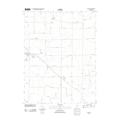
2012 Map of Payson
USGS Topo · Published 2012About this map
The village of Payson anchors this portion of Adams County, where a dense network of country roads connects family homesteads and generational burial grounds. The landscape is defined by the winding paths of Pigeon Cr and McCraney Cr, which cut through the agricultural sections. A remarkable number of small, family-named cemeteries are preserved here, including the Nichols Family Cem, Lock Family Cem, and Rice Family Cem, offering significant value for genealogists tracing early settlers in the region.
Find a feature on this map
71 named features on this map. Tap any name to fly to it.
Don’t see what you’re looking for? This feature index may not catch every label — zoom into the map to look around manually.
Map Details
Editions of this 2012 Payson Map
This is the sole edition of this map. No revisions or reprints were ever made.
Other maps of this area

1925 · Quincy
USGS Topo · 1:62,500

1925 · Liberty
USGS Topo · 1:62,500

1927 · Liberty
USGS Topo · 1:62,500

1931 · Barry
USGS Topo · 1:62,500

1932 · Hannibal
USGS Topo · 1:62,500

1936 · Hannibal
USGS Topo · 1:48,000

1936 · Barry
USGS Topo · 1:48,000

1944 · Barry
USGS Topo · 1:62,500

1944 · Quincy
USGS Topo · 1:62,500

1945 · Hannibal
USGS Topo · 1:62,500