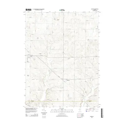
2015 Map of Payson
USGS Topo · Published 2015About this map
Payson and the surrounding township at the southern edge of Adams County are defined by a landscape of intricate creek drainages and family-held land. The village of Payson sits at the intersection of a grid-based road network that gives way to more winding routes near Possum Hollow and the banks of Pigeon Cr. This 2015 survey reveals an exceptional concentration of family burial grounds and community graveyards, suggesting deep ancestral ties to the land. From the Nichols Family Cem to the Rice Family Cem and the Lock Family Cem, the map serves as a vital record for genealogists tracing early settlers. In addition to the larger village, smaller clusters like Plainville and the named area of Adams are documented alongside local landmarks like Krutmeier Airport, reflecting the area's mix of agricultural heritage and modern utility.
Find a feature on this map
68 named features on this map. Tap any name to fly to it.
Don’t see what you’re looking for? This feature index may not catch every label — zoom into the map to look around manually.
Map Details
Editions of this 2015 Payson Map
This is the sole edition of this map. No revisions or reprints were ever made.
Other maps of this area

1925 · Quincy
USGS Topo · 1:62,500

1925 · Liberty
USGS Topo · 1:62,500

1927 · Liberty
USGS Topo · 1:62,500

1931 · Barry
USGS Topo · 1:62,500

1932 · Hannibal
USGS Topo · 1:62,500

1936 · Hannibal
USGS Topo · 1:48,000

1936 · Barry
USGS Topo · 1:48,000

1944 · Barry
USGS Topo · 1:62,500

1944 · Quincy
USGS Topo · 1:62,500

1945 · Hannibal
USGS Topo · 1:62,500