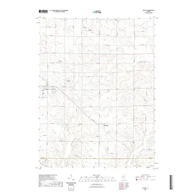
2021 Map of Payson
USGS Topo · Published 2021About this map
Payson and Plainville anchor this southern Adams County landscape, characterized by a dense network of county roads and family-named cemeteries. The drainage patterns of Pigeon Cr and Anderson Br influence the local topography as the land transitions toward the Adams Co Pike Co border. Genealogists will find significant value in the numerous burial sites identified, ranging from the Payson Old Cem and Payson New Cem to smaller family plots like the Nichols Family Cem and Lock Family Cem. The presence of the Krutmeier Airport north of the main settlement and the hamlet of Adams to the northeast illustrates the modern layout of these rural communities. The map provides a precise view of local infrastructure, including Co HWY 10 and several legacy routes like Angle St that link the various agricultural holdings and historical homestead sites across the quadrangle.
Find a feature on this map
52 named features on this map. Tap any name to fly to it.
Don’t see what you’re looking for? This feature index may not catch every label — zoom into the map to look around manually.
Map Details
Editions of this 2021 Payson Map
This is the sole edition of this map. No revisions or reprints were ever made.
Other maps of this area

1925 · Quincy
USGS Topo · 1:62,500

1925 · Liberty
USGS Topo · 1:62,500

1927 · Liberty
USGS Topo · 1:62,500

1931 · Barry
USGS Topo · 1:62,500

1932 · Hannibal
USGS Topo · 1:62,500

1936 · Hannibal
USGS Topo · 1:48,000

1936 · Barry
USGS Topo · 1:48,000

1944 · Barry
USGS Topo · 1:62,500

1944 · Quincy
USGS Topo · 1:62,500

1945 · Hannibal
USGS Topo · 1:62,500