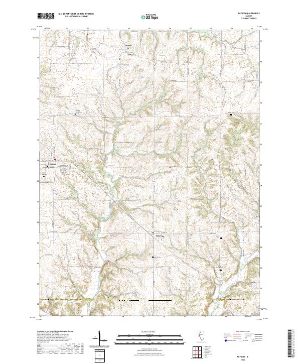
2024 Map of Payson
USGS Topo · Published 2024About this map
Payson serves as the primary hub of this rural landscape in western Illinois, situated near the headwaters of several drainages including Fall Creek and Pigeon Creek. The township structure is clearly defined by an extensive grid of county roads, such as N 800th Ave and Co Rd 1700 E, which navigate the undulating terrain cut by local waterways. To the east, the settlement of Plainville sits near the crossing of Co Hwy 10, while the small community of Adams lies to the north.
Find a feature on this map
79 named features on this map. Tap any name to fly to it.
Don’t see what you’re looking for? This feature index may not catch every label — zoom into the map to look around manually.
Map Details
Editions of this 2024 Payson Map
This is the sole edition of this map. No revisions or reprints were ever made.
Other maps of this area

1925 · Quincy
USGS Topo · 1:62,500

1925 · Liberty
USGS Topo · 1:62,500

1927 · Liberty
USGS Topo · 1:62,500

1931 · Barry
USGS Topo · 1:62,500

1932 · Hannibal
USGS Topo · 1:62,500

1936 · Hannibal
USGS Topo · 1:48,000

1936 · Barry
USGS Topo · 1:48,000

1944 · Barry
USGS Topo · 1:62,500

1944 · Quincy
USGS Topo · 1:62,500

1945 · Hannibal
USGS Topo · 1:62,500