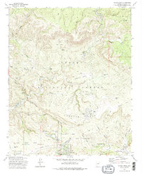
1973 Map of Payson North
USGS Topo · Published 1975About this map
The East Verde River winds through the northern reaches of the Tonto National Forest, shaping a landscape of deep canyons and prominent mesas. In the mid-1970s, the community of Payson sits at the southern edge of this survey, showing its established residential streets like Matterhorn St and Sherman St alongside the Payson Airport. The map details a transition from the developing town site to the wilderness of the Diamond Rim, where geographic curiosities like Hell's Half Acre and the Tonto National Forest Seismological Observatory are located.
Find a feature on this map
52 named features on this map. Tap any name to fly to it.
Don’t see what you’re looking for? This feature index may not catch every label — zoom into the map to look around manually.
Map Details
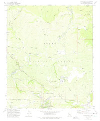
Editions of this 1973 Payson North Map
2 editions found
Other maps of this area

1887 · Verde
USGS Topo · 1:250,000

1892 · Verde
USGS Topo · 1:250,000

1934 · Pine
USGS Topo · 1:62,500

1934 · Promontory Butte
USGS Topo · 1:62,500

1936 · Payson
USGS Topo · 1:48,000

1937 · Diamond Butte
USGS Topo · 1:48,000

1939 · Promontory Butte
USGS Topo · 1:62,500

1940 · Pine
USGS Topo · 1:62,500

1942 · Payson
USGS Topo · 1:62,500

1943 · Diamond Butte
USGS Topo · 1:62,500