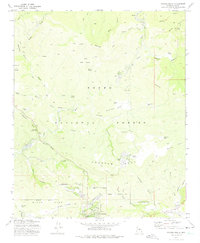
1973 Map of Payson North
USGS Topo · Published 1975About this map
The northern limits of Payson and the neighboring community of Star Valley anchor this 1970s topographic study within the Tonto National Forest. The landscape is defined by a series of prominent mesas and dramatic rims, including Shoofly Mesa, Sunflower Mesa, and Birch Mesa, alongside the striking Diamond Rim. The East Verde River and its various tributaries, such as Webber Creek and Ellison Creek, carve through the terrain, creating a network of canyons and draws that supported early ranching and forestry.
Find a feature on this map
56 named features on this map. Tap any name to fly to it.
Don’t see what you’re looking for? This feature index may not catch every label — zoom into the map to look around manually.
Map Details
Editions of this 1973 Payson North Map
2 editions found
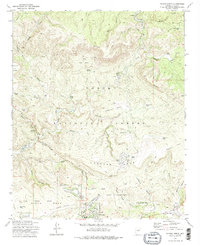
Other maps of this area

1887 · Verde
USGS Topo · 1:250,000

1892 · Verde
USGS Topo · 1:250,000

1934 · Pine
USGS Topo · 1:62,500

1934 · Promontory Butte
USGS Topo · 1:62,500

1936 · Payson
USGS Topo · 1:48,000

1937 · Diamond Butte
USGS Topo · 1:48,000

1939 · Promontory Butte
USGS Topo · 1:62,500

1940 · Pine
USGS Topo · 1:62,500

1942 · Payson
USGS Topo · 1:62,500

1943 · Diamond Butte
USGS Topo · 1:62,500