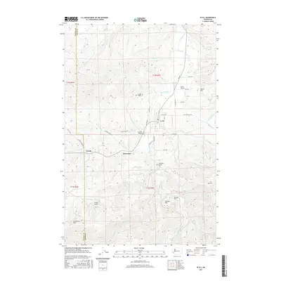
2017 Map of Pe Ell
USGS Topo · Published 2017About this map
The Chehalis River winds through the heart of this Lewis County landscape, defining a valley where the settlement of Pe Ell serves as the primary hub. North of the town center, Pe Ell Prairie and Helmicks Pond suggest a more open, low-lying topography, while the surrounding terrain is dominated by significant elevations such as Jones Bluff and Cherry Hill. The map documents a transition from the structured street grid of the village, including Main ST, to the winding logging and access roads that penetrate the timber-rich uplands.
Find a feature on this map
96 named features on this map. Tap any name to fly to it.
Don’t see what you’re looking for? This feature index may not catch every label — zoom into the map to look around manually.
Map Details
Editions of this 2017 Pe Ell Map
This is the sole edition of this map. No revisions or reprints were ever made.
Other maps of this area
1941 · Walville
USGS Topo · 1:62,500
1941 · Meskill
USGS Topo · 1:62,500
1941 · Skamokawa
USGS Topo · 1:62,500

1953 · Hoquiam
USGS Topo · 1:250,000
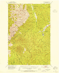
1953 · Ryderwood
USGS Topo · 1:62,500
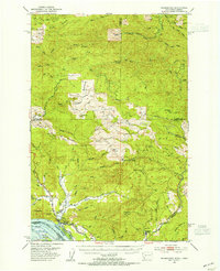
1953 · Skamokawa
USGS Topo · 1:62,500
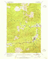
1953 · Pe Ell
USGS Topo · 1:62,500
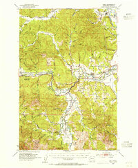
1953 · Adna
USGS Topo · 1:62,500
1957 · Hoquiam
USGS Topo · 1:250,000
1958 · Hoquiam
USGS Topo · 1:250,000