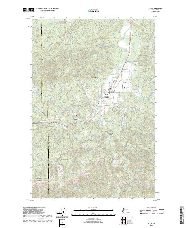
2023 Map of Pe Ell
USGS Topo · Published 2023About this map
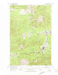
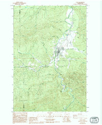
The town of Pe Ell serves as the focal point of this western Washington landscape, where the Chehalis River winds through the Pe Ell Prairie before entering the timbered hills of Lewis and Pacific counties. The settlement pattern follows the valley floor, with Saint Joseph Cem and Forest Lawn Cem marking the local heritage of the community. To the west, the former rail corridor is preserved as the Willapa Hills State Park Trl, tracing the path through the small localities of McCormick and Walville.
Find a feature on this map
59 named features on this map. Tap any name to fly to it.
Don’t see what you’re looking for? This feature index may not catch every label — zoom into the map to look around manually.
Map Details
Editions of this 2023 Pe Ell Map
This is the sole edition of this map. No revisions or reprints were ever made.