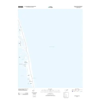
2013 Map of Pea Island
USGS Topo · Published 2013About this map
Pea Island and the thin ribbons of the Outer Banks are documented here during the early twenty-first century, showing the fragile geography of Cape Hatteras Natl Seashore between the Atlantic Ocean and Pamlico Sound. This maritime landscape is defined by its shifting sand and shallow water features, with small topographic rises like Lagerhead Hills and Sand Ridge providing the only significant elevation above the marshes. Local nomenclature for the numerous hummocks and shoals is preserved through labels such as Saint Clair Lump, Goulds Lump, and Ira Lump. The central infrastructure is the lone corridor of State Highway 12, which serves as the lifeline for this coastal stretch, passing near notable shoreline points like Dulls Point and Round Hammock Point. The map also captures the intricate hydrology of the sound side, including Beach Slue and Wreck Creek.
Find a feature on this map
21 named features on this map. Tap any name to fly to it.
Don’t see what you’re looking for? This feature index may not catch every label — zoom into the map to look around manually.
Map Details
Editions of this 2013 Pea Island Map
This is the sole edition of this map. No revisions or reprints were ever made.
Other maps of this area

1943 · Roanoke Island
USGS Topo · 1:125,000

1955 · Wanchese
USGS Topo · 1:250,000

1957 · Manteo
USGS Topo · 1:250,000

1960 · Manteo
USGS Topo · 1:250,000

1985 · Manteo
USGS Topo · 1:100,000
2011 · Oregon Inlet
USGS Topo · 1:24,000
2011 · Pea Island OE W
USGS Topo · 1:24,000
2011 · Pea Island
USGS Topo · 1:24,000
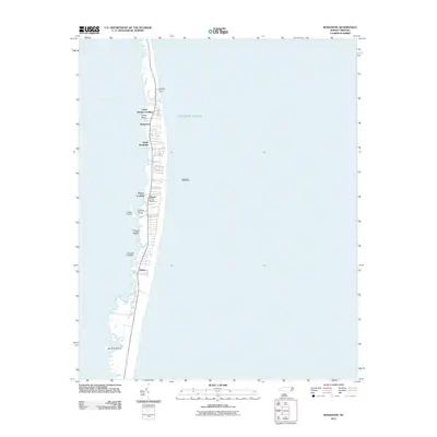
2011 · Rodanthe
USGS Topo · 1:24,000
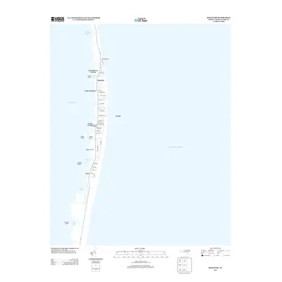
2013 · Rodanthe
USGS Topo · 1:24,000