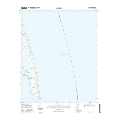
2016 Map of Pea Island
USGS Topo · Published 2016About this map
Pea Island and the thin ribbons of the Outer Banks define this coastal landscape, where the shifting sands of the North Carolina barrier islands meet the Atlantic Ocean. Situated within the Cape Hatteras National Seashore, the terrain is a complex arrangement of marshes, small islands, and coastal features like Liza Lumps and Cedar Hammock. The map illustrates the dynamic hydrology of the Pamlico Sound side, including Beach Slue, Wreck Creek, and the tidal waters of Round Hammock Bay.
Find a feature on this map
23 named features on this map. Tap any name to fly to it.
Don’t see what you’re looking for? This feature index may not catch every label — zoom into the map to look around manually.
Map Details
Editions of this 2016 Pea Island Map
This is the sole edition of this map. No revisions or reprints were ever made.
Other maps of this area

1943 · Roanoke Island
USGS Topo · 1:125,000

1955 · Wanchese
USGS Topo · 1:250,000

1957 · Manteo
USGS Topo · 1:250,000

1960 · Manteo
USGS Topo · 1:250,000

1985 · Manteo
USGS Topo · 1:100,000
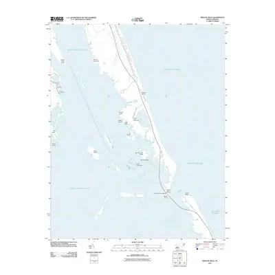
2011 · Oregon Inlet
USGS Topo · 1:24,000
2011 · Pea Island OE W
USGS Topo · 1:24,000
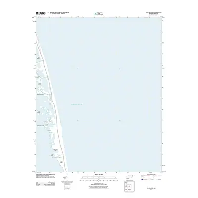
2011 · Pea Island
USGS Topo · 1:24,000
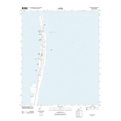
2011 · Rodanthe
USGS Topo · 1:24,000
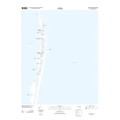
2013 · Rodanthe
USGS Topo · 1:24,000