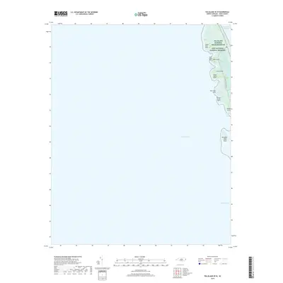
2019 Map of Pea Island OE W
USGS Topo · Published 2019About this map
Pea Island National Wildlife Refuge and Cape Hatteras National Seashore dominate this coastal survey of the Outer Banks, where the fragile land meets the Atlantic Ocean and Pamlico Sound. This map documents a dynamic landscape of shifting shoals and sheltered bays along the Dare County coast. A narrow ribbon of land is crisscrossed by features such as the N Pond Administrative Trail, providing a clear record of the conservation boundaries and managed lands of the late 2010s.
Find a feature on this map
20 named features on this map. Tap any name to fly to it.
Don’t see what you’re looking for? This feature index may not catch every label — zoom into the map to look around manually.
Map Details
Editions of this 2019 Pea Island OE W Map
This is the sole edition of this map. No revisions or reprints were ever made.
Other maps of this area

1943 · Roanoke Island
USGS Topo · 1:125,000

1953 · Wanchese
USGS Topo · 1:24,000

1953 · Stumpy Point
USGS Topo · 1:24,000

1955 · Wanchese
USGS Topo · 1:250,000

1957 · Manteo
USGS Topo · 1:250,000

1960 · Manteo
USGS Topo · 1:250,000

1985 · Manteo
USGS Topo · 1:100,000
2002 · Stumpy Point
USGS Topo · 1:24,000

2011 · Long Shoal Point OE E
USGS Topo · 1:24,000
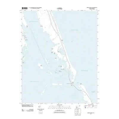
2011 · Oregon Inlet
USGS Topo · 1:24,000