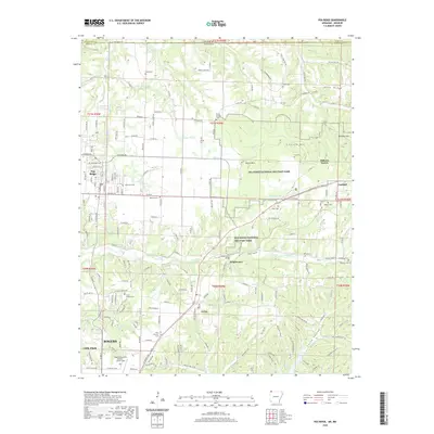
2020 Map of Pea Ridge
USGS Topo · Published 2020About this map
Pea Ridge National Military Park preserves the hallowed ground of a pivotal Civil War engagement, where the terrain around Elkhorn Mtn and Elkhorn Tavern remains largely undeveloped despite the growth of neighboring communities. The map reveals a high density of rural cemeteries and family burial grounds such as Banks Cem, Twelve Corners Cem, and Buttram Cem, which are invaluable for genealogical research in this portion of Benton County.
Find a feature on this map
189 named features on this map. Tap any name to fly to it.
Don’t see what you’re looking for? This feature index may not catch every label — zoom into the map to look around manually.
Map Details
Editions of this 2020 Pea Ridge Map
This is the sole edition of this map. No revisions or reprints were ever made.
Other maps of this area

1899 · Fayetteville
USGS Topo · 1:125,000

1900 · Eureka Springs
USGS Topo · 1:125,000

1901 · Eureka Springs
USGS Topo · 1:125,000

1901 · Fayetteville
USGS Topo · 1:125,000

1904 · Fayetteville
USGS Topo · 1:125,000

1937 · Cassville
USGS Topo · 1:48,000

1941 · Rocky Comfort
USGS Topo · 1:62,500

1943 · Rocky Comfort
USGS Topo · 1:62,500

1944 · Cassville
USGS Topo · 1:62,500

1945 · Harrison
USGS Topo · 1:250,000