Loading...
Loading map...2024 Map of Pea Ridge
USGS Topo · Published 2024About this map
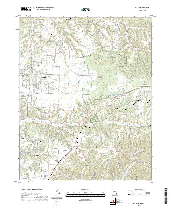
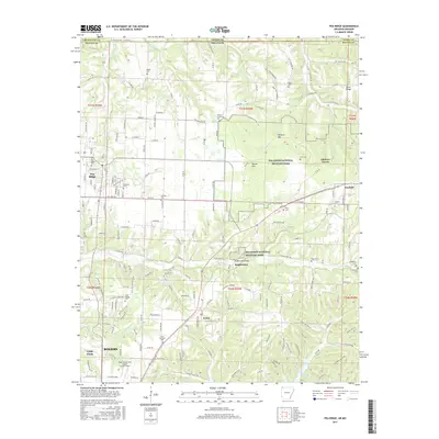
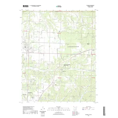
Pea Ridge National Military Park preserves a critical Civil War landscape where high ridges and creek bottoms shaped the tactics of the era. The terrain is dominated by Elkhorn Mtn and Round Mtn, overlooking significant landmarks like Elkhorn Tavern and the historic path of N Old Wire Rd. This modern survey illustrates how the preserved battlefield interacts with the growing communities of Pea Ridge, Garfield, and Avoca.
Find a feature on this map
190 named features on this map. Tap any name to fly to it.
Don’t see what you’re looking for? This feature index may not catch every label — zoom into the map to look around manually.
Map Details
Date Portrayed2024
Date Published2024
PublisherU.S. Geological Survey
Map TypeTopographic
Scale1:24,000
Physical Dimensions24 x 29 inches
Editions of this 2024 Pea Ridge Map
This is the sole edition of this map. No revisions or reprints were ever made.
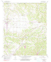
Historical Maps of Rogers Through Time
6 maps found
Featured Locations
Source Details
SourceU.S. Geological Survey
CopyrightPublic Domain