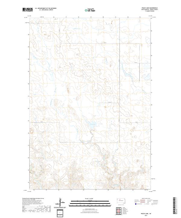
2021 Map of Peach Lake
USGS Topo · Published 2021About this map
Peach Lake serves as a central landmark in this remote corner of Dewey County, where the topography is defined by the winding drainages of the Missouri River plateau. The landscape is carved by several prominent watercourses, including Redwater Cr in the northeast and the extensive reach of Meadow Cr, which meanders across the southern and western sections of the quadrangle. The map reveals a sparse, rural road network typical of South Dakota's rangelands, with Co Hwy K and a series of county routes like Co Rd 3 providing the primary access through these townships. This survey illustrates the section-line organization of the Great Plains, where narrow corridors of Red Earth Cr and other tributaries dictate the placement of local infrastructure and land use within the larger grid system.
Find a feature on this map
13 named features on this map. Tap any name to fly to it.
Don’t see what you’re looking for? This feature index may not catch every label — zoom into the map to look around manually.
Map Details
Editions of this 2021 Peach Lake Map
This is the sole edition of this map. No revisions or reprints were ever made.
Other maps of this area

1952 · Lantry NW
USGS Topo · 1:24,000

1952 · Lantry NE
USGS Topo · 1:24,000

1952 · Parade NW
USGS Topo · 1:24,000

1953 · McIntosh
USGS Topo · 1:250,000

1958 · McIntosh
USGS Topo · 1:250,000

1978 · Brewer Butte
USGS Topo · 1:24,000

1978 · Isabel SW
USGS Topo · 1:24,000

1978 · Peach Lake
USGS Topo · 1:24,000

1978 · Isabel
USGS Topo · 1:24,000

1978 · Livermant Lake
USGS Topo · 1:24,000