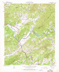
1937 Map of Peachtree
USGS Topo · Published 1969About this map
Peachtree and Brasstown anchor this 1937 topographic landscape where the Hiwassee River snakes through the valley floor. The map highlights a rural economy defined by mountain coves and river bottoms, such as McComb Bottom and Suddawig Bottom. Cultural institutions are prominent, including the notable Campbell Folk School near the confluence of Brasstown Creek and Little Brasstown Creek. Small country churches like Hickory Stand Ch and Maggie Chapel serve the scattered mountain communities, while local industry is represented by Arrowood Mill and Jones Mill. The Southern Railway follows the river corridor, providing a vital link through the Nantahala National Forest and across the Cherokee and Clay county line. Family history is etched into the terrain through numerous named landmarks like Will Scott Mountain and cemeteries such as McGuire Cem.
Find a feature on this map
95 named features on this map. Tap any name to fly to it.
Don’t see what you’re looking for? This feature index may not catch every label — zoom into the map to look around manually.
Map Details
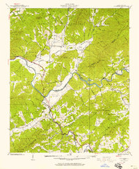
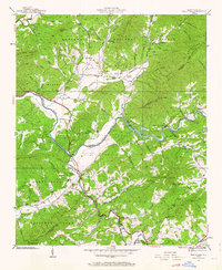
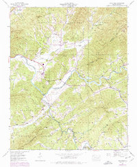
Editions of this 1937 Peachtree Map
4 editions found
Other maps of this area

1886 · Dahlonega
USGS Topo · 1:125,000

1888 · Ellijay
USGS Topo · 1:125,000

1892 · Dahlonega
USGS Topo · 1:125,000

1892 · Ellijay
USGS Topo · 1:125,000

1893 · Murphy
USGS Topo · 1:125,000

1896 · Dahlonega
USGS Topo · 1:125,000

1898 · Ellijay
USGS Topo · 1:125,000

1903 · Dahlonega
USGS Topo · 1:125,000

1911 · Ellijay
USGS Topo · 1:125,000

1914 · Murphy
USGS Topo · 1:125,000