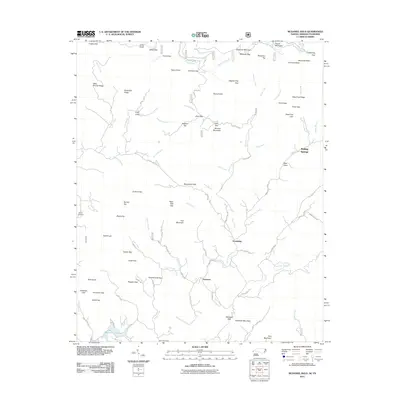
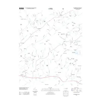
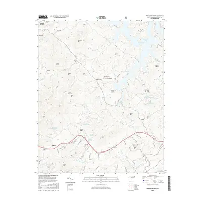
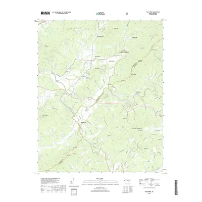
1937 Map of Peachtree
USGS Topo · Published 1975About this map
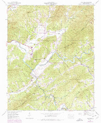
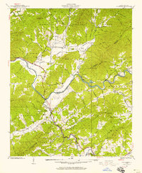
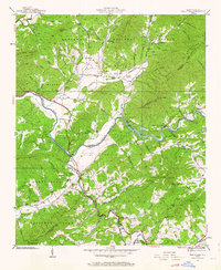
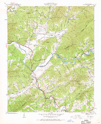
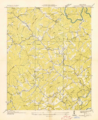
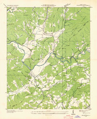
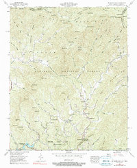
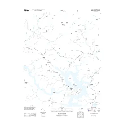
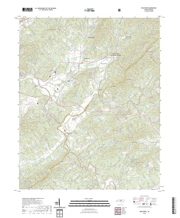
The Hiwassee River winds through the heart of the Appalachian landscape in this 1937 survey, updated with 1973 revisions to show modern developments like the Drive-In Theater and a Trailer Park. The settlement of Brasstown is a primary focal point, anchored by the Campbell Folk School and several nearby rural congregations including Jenkins Ch and Hickory Stand Ch. These valley communities are clustered within productive lowlands such as Suddawig Bottom and Harshaw Bottom, bounded by the protected reaches of the Nantahala National Forest.
Find a feature on this map
76 named features on this map. Tap any name to fly to it.
Don’t see what you’re looking for? This feature index may not catch every label — zoom into the map to look around manually.
Map Details
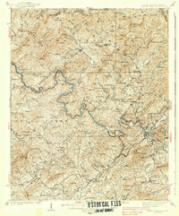
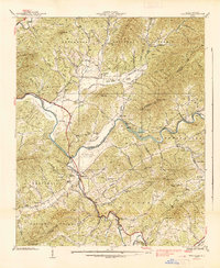
Editions of this 1937 Peachtree Map
4 editions found
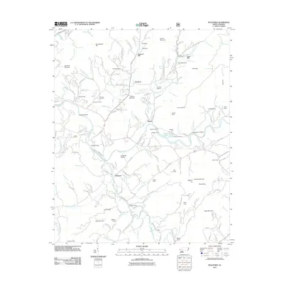
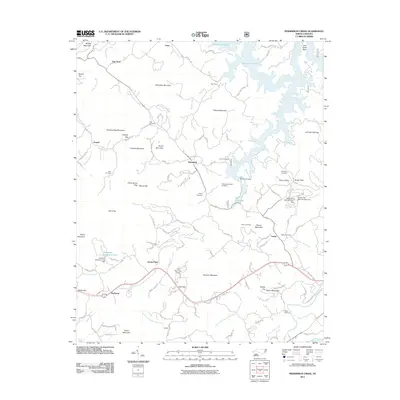
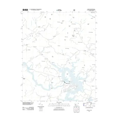
Historical Maps of Peachtree Through Time
37 maps found

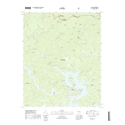
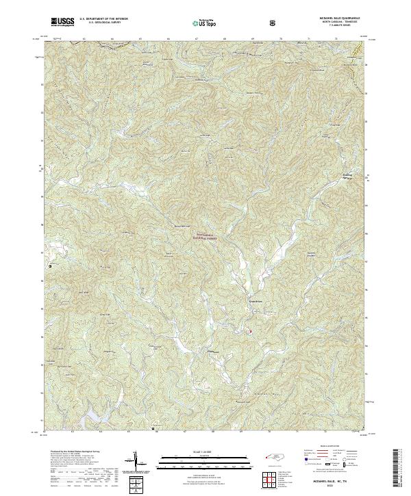
1934 McDaniel Bald
Cherokee County, NC
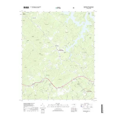
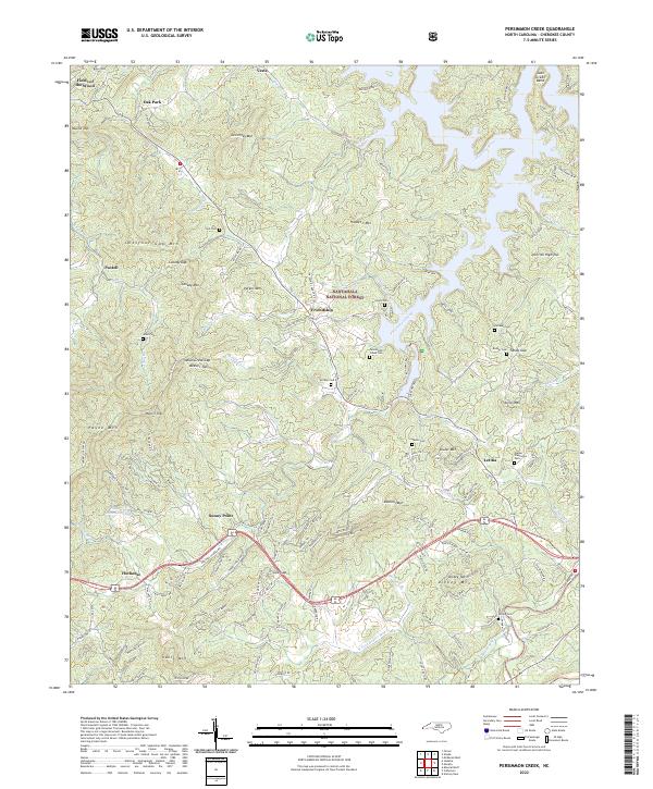
1934 Persimmon Creek
Cherokee County, NC

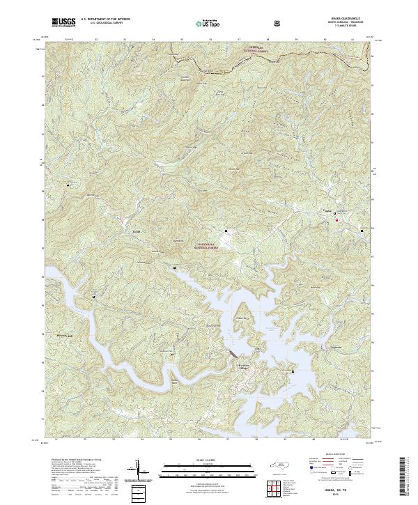
1934 Unaka
Cherokee County, NC
1935 Peachtree
Cherokee County, NC
1937 Peachtree
Cherokee County, NC
1938 Fowler Bend
Cherokee County, NC
1938 Peachtree
Cherokee County, NC
1957 Mc Daniel Bald
Cherokee County, NC

1957 Persimmon Creek
Cherokee County, NC
1957 Unaka
Cherokee County, NC

1971 Blacksburg North
Cherokee County, NC
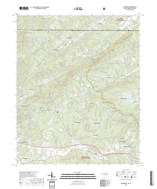
1988 Culberson
Cherokee County, NC
2011 Culberson
Cherokee County, NC
2011 McDaniel Bald
Cherokee County, NC
2011 Peachtree
Cherokee County, NC
2011 Persimmon Creek
Cherokee County, NC
2011 Unaka
Cherokee County, NC
2013 Culberson
Cherokee County, NC
2013 McDaniel Bald
Cherokee County, NC
2013 Peachtree
Cherokee County, NC
2013 Persimmon Creek
Cherokee County, NC
2013 Unaka
Cherokee County, NC
2016 Culberson
Cherokee County, NC
2016 McDaniel Bald
Cherokee County, NC
2016 Peachtree
Cherokee County, NC
2016 Persimmon Creek
Cherokee County, NC
2016 Unaka
Cherokee County, NC
2019 Culberson
Cherokee County, NC
2019 McDaniel Bald
Cherokee County, NC
2019 Peachtree
Cherokee County, NC
2019 Persimmon Creek
Cherokee County, NC
2019 Unaka
Cherokee County, NC
2022 Culberson
Cherokee County, NC
2022 McDaniel Bald
Cherokee County, NC
2022 Peachtree
Cherokee County, NC
2022 Persimmon Creek
Cherokee County, NC
2022 Unaka
Cherokee County, NC