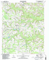
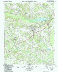
1986 Map of Peacocks Crossroads
USGS Topo · Published 1986About this map
Peacocks Crossroads sits at the heart of a rural agricultural landscape defined by its drainage basins and traditional crossroads communities during the mid-1980s. The terrain is characterized by intricate water systems, including the slow-moving Mill Swamp and the aptly named The Dismal, which feed into Stone Creek and Mill Creek. These wetlands are punctuated by localized landmarks like The Meadow and family-named water bodies such as John Parker Pond and Moorewood Pond.
Find a feature on this map
33 named features on this map. Tap any name to fly to it.
Don’t see what you’re looking for? This feature index may not catch every label — zoom into the map to look around manually.
Map Details
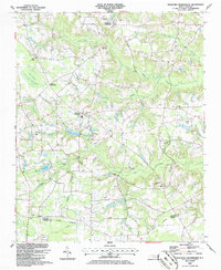
Editions of this 1986 Peacocks Crossroads Map
2 editions found
Other maps of this area

1906 · Four Oaks
USGS Topo · 1:48,000

1908 · Four Oaks
USGS Topo · 1:62,500

1909 · Coharie
USGS Topo · 1:62,500

1953 · Raleigh
USGS Topo · 1:250,000

1954 · Raleigh
USGS Topo · 1:250,000

1973 · Benson
USGS Topo · 1:24,000

1973 · Dunn
USGS Topo · 1:24,000
1974 · Mingo
USGS Topo · 1:24,000
1986 · Timothy
USGS Topo · 1:24,000
1986 · Four Oaks
USGS Topo · 1:24,000