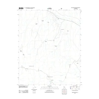
2012 Map of Peak Mountain
USGS Topo · Published 2012About this map
The Sierra Madre Mountains define this high-elevation terrain in the early twenty-first century, where remote ranching operations like Caliente Ranch and Hinsdale Ranch sit tucked between steep drainage systems. The map captures a landscape characterized by deep canyons such as Richardson Canyon, Deadman Canyon, and Aliso Canyon that feed toward the Cuyama River valley. This region is marked by its essential water sources, including Heath Spring, Johnston Spring, and Bitter Creek Spring, which have long dictated human presence in this arid mountain environment.
Find a feature on this map
32 named features on this map. Tap any name to fly to it.
Don’t see what you’re looking for? This feature index may not catch every label — zoom into the map to look around manually.
Map Details
Editions of this 2012 Peak Mountain Map
This is the sole edition of this map. No revisions or reprints were ever made.
Other maps of this area

1902 · Santa Ynez
USGS Topo · 1:125,000

1905 · Santa Ynez
USGS Topo · 1:125,000

1912 · McKittrick
USGS Topo · 1:125,000

1941 · Caliente Mountain
USGS Topo · 1:62,500

1941 · McPherson Peak
USGS Topo · 1:62,500

1942 · Caliente Mtn
USGS Topo · 1:62,500

1943 · McPherson Peak
USGS Topo · 1:62,500

1943 · Caliente Mtn.
USGS Topo · 1:62,500

1943 · Cuyama Ranch
USGS Topo · 1:31,680
1944 · Salisbury Potrero
USGS Topo · 1:31,680