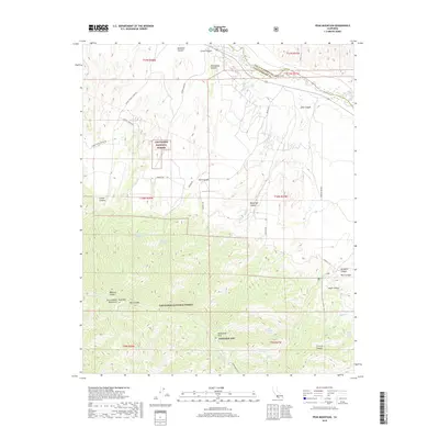
2018 Map of Peak Mountain
USGS Topo · Published 2018About this map
Rancho Cuyama and the high peaks of the Sierra Madre Mountains define this landscape in north-central Santa Barbara County. The terrain is marked by a transition from the Cuyama River valley floor, where 166 follows the riverbed, into the steep ascent toward Peak Mtn and McPherson Peak. This area, largely within the Los Padres National Forest, is characterized by a series of deep canyons such as Wellman Canyon and Davis Canyon. Water sources are critical landmarks in this arid environment, evidenced by named springs like Richardson Spring, Heath Spring, and Hog Pen Spring. The map also identifies the northwestern reach of Edwards AFB and the boundary line separating Santa Barbara and San Luis Obispo counties, offering a clear view of the complex topography and jurisdictional lines in this part of California.
Find a feature on this map
45 named features on this map. Tap any name to fly to it.
Don’t see what you’re looking for? This feature index may not catch every label — zoom into the map to look around manually.
Map Details
Editions of this 2018 Peak Mountain Map
This is the sole edition of this map. No revisions or reprints were ever made.
Other maps of this area

1902 · Santa Ynez
USGS Topo · 1:125,000

1905 · Santa Ynez
USGS Topo · 1:125,000

1912 · McKittrick
USGS Topo · 1:125,000

1941 · Caliente Mountain
USGS Topo · 1:62,500

1941 · McPherson Peak
USGS Topo · 1:62,500

1942 · Caliente Mtn
USGS Topo · 1:62,500

1943 · McPherson Peak
USGS Topo · 1:62,500

1943 · Caliente Mtn.
USGS Topo · 1:62,500

1943 · Cuyama Ranch
USGS Topo · 1:31,680
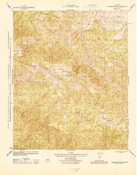
1944 · Salisbury Potrero
USGS Topo · 1:31,680