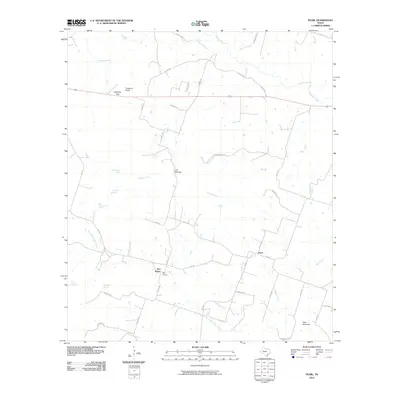
2010 Map of Pearl
USGS Topo · Published 2010About this map
The rural settlement of Pearl sits at the intersection of several county roads and FM 183 in this Coryell County landscape. The area is defined by a dense network of water sources, including Whitewalker Spring, Crowsnest Spring, and Old Cottonwood Spring, which feed the drainages of Cowhouse Creek and Bullard Creek. To the west, the community of Bee House and nearby North Bee House Creek mark the historical footprint of early ranching and agricultural life in the region.
Find a feature on this map
49 named features on this map. Tap any name to fly to it.
Don’t see what you’re looking for? This feature index may not catch every label — zoom into the map to look around manually.
Map Details
Editions of this 2010 Pearl Map
This is the sole edition of this map. No revisions or reprints were ever made.
Other maps of this area

1887 · Lampasas
USGS Topo · 1:125,000

1888 · Hamilton
USGS Topo · 1:125,000

1888 · Meridian
USGS Topo · 1:125,000

1894 · Hamilton
USGS Topo · 1:125,000

1894 · Meridian
USGS Topo · 1:125,000

1894 · Lampasas
USGS Topo · 1:125,000

1894 · Gatesville
USGS Topo · 1:125,000

1947 · Purmela
USGS Topo · 1:62,500

1947 · Pidcoke
USGS Topo · 1:24,000

1947 · Purmela
USGS Topo · 1:24,000