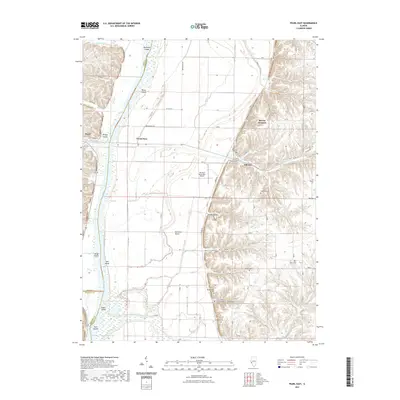
2021 Map of Pearl East
USGS Topo · Published 2021About this map
Pearl and Grand Pass anchor the western edge of this survey, where the river valley landscape meets the bluffs of Pike County. The geography is defined by the shifting course of the Illinois River, which separates the lowland bottomlands and islands like Weson Island and Bridge Island from the undulating terrain to the east. The map reveals an intricate drainage system including Hurricane Cr, Apple Creek, and Crooked Cr, which feed the river and historically dictated the placement of agricultural efforts like the McClay Orchard. A network of rural cemeteries, such as Shelton Cem and Bluefield Cem, are tucked away in the hollows and upland ridges, offering specific points of interest for genealogists tracing local families near Hillview. The inclusion of the Hartwell Ranch RLA Airport and Hartwell Ranch indicates the ongoing intersection of private land use and rural transportation in this corridor.
Find a feature on this map
59 named features on this map. Tap any name to fly to it.
Don’t see what you’re looking for? This feature index may not catch every label — zoom into the map to look around manually.
Map Details
Editions of this 2021 Pearl East Map
This is the sole edition of this map. No revisions or reprints were ever made.
Other maps of this area

1924 · Winchester
USGS Topo · 1:48,000

1924 · Roodhouse
USGS Topo · 1:62,500

1924 · Griggsville
USGS Topo · 1:62,500

1926 · Griggsville
USGS Topo · 1:62,500

1926 · Winchester
USGS Topo · 1:62,500

1926 · Roodhouse
USGS Topo · 1:62,500

1930 · Pearl
USGS Topo · 1:62,500

1948 · Quincy
USGS Topo · 1:250,000

1950 · Pearl
USGS Topo · 1:62,500

1956 · Quincy
USGS Topo · 1:250,000