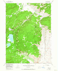
1955 Map of Pearl
USGS Topo · Published 1964About this map
Pearl and its surrounding ranchlands reveal a landscape shaped by high-altitude mining and a complex network of irrigation during the mid-1950s. The presence of the Smelter Stack and named mining operations like the Zirkel Mine, Wolverine Mine, and Swede Group Mines points to an era of industrial extraction within the Routt National Forest. The geography is defined by its water management, featuring an Abandoned Aqueduct and numerous hand-cut waterways such as the Continental Ditch and Hans Clauson Ditch, which were essential for sustaining remote operations like the Wilford Ranch and Lobdell Ranch. The massive Big Creek Lakes anchor the western terrain, serving as a focal point for recreation at the Lakeside and Big Creek sites. This survey provides a precise record of the rugged North Park borderlands before modern development, tracing the intersection of the timberline, cattle ranching, and early 20th-century mineral claims.
Find a feature on this map
55 named features on this map. Tap any name to fly to it.
Don’t see what you’re looking for? This feature index may not catch every label — zoom into the map to look around manually.
Map Details
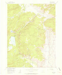
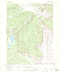
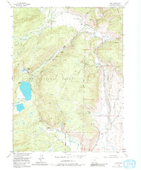
Editions of this 1955 Pearl Map
5 editions found

Other maps of this area

1906 · Medicine Bow
USGS Topo · 1:125,000

1908 · Medicine Bow
USGS Topo · 1:125,000

1911 · Hahns Peak
USGS Topo · 1:125,000

1913 · Hahns Peak
USGS Topo · 1:125,000

1939 · Saratoga
USGS Topo · 1:125,000

1954 · Rawlins
USGS Topo · 1:250,000

1954 · Craig
USGS Topo · 1:250,000

1955 · Davis Peak
USGS Topo · 1:24,000

1955 · Independence Mountain
USGS Topo · 1:24,000

1955 · Lake John
USGS Topo · 1:24,000