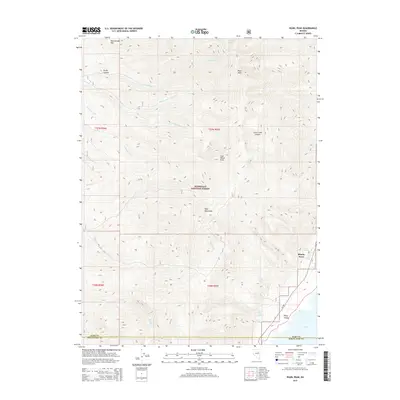
2014 Map of Pearl Peak
USGS Topo · Published 2014About this map
The Ruby Mountains dominate this high-altitude landscape in eastern Nevada, where the crest of the range divides the drainages of the Humboldt National Forest. Peaks like Pearl Peak and Cass House Peak tower over deep incisions in the range, including Cave Creek Canyon and Rocky Canyon. This survey captures the transition from the high ridges down into the Ruby Valley, where the settlement of Shanty Town sits near the base of the mountains. Numerous seasonal and perennial water sources emerge from the slopes, from the high Pearl Lake to the complex drainage systems of N Fork Lindsay Cr, Middle Fork Lindsay Cr, and S Fork Lindsay Cr. The southern edge of the map tracks the boundary between Elko Co and White Pine Co, while the lower elevations near Y Pond show the characteristic ranching and recreational layout of the Great Basin's interior valleys.
Find a feature on this map
28 named features on this map. Tap any name to fly to it.
Don’t see what you’re looking for? This feature index may not catch every label — zoom into the map to look around manually.
Map Details
Editions of this 2014 Pearl Peak Map
This is the sole edition of this map. No revisions or reprints were ever made.
Other maps of this area

1934 · Jiggs
USGS Topo · 1:125,000

1937 · Jiggs
USGS Topo · 1:125,000

1955 · Elko
USGS Topo · 1:250,000

1958 · Elko
USGS Topo · 1:250,000

1959 · Jiggs
USGS Topo · 1:62,500

1959 · Sherman Mtn
USGS Topo · 1:62,500

1962 · Elko
USGS Topo · 1:250,000

1965 · Elko
USGS Topo · 1:250,000

1968 · Franklin Lake SW
USGS Topo · 1:24,000
1968 · Ruby Lake NW
USGS Topo · 1:24,000