2024 Map of Pearl River
USGS Topo · Published 2024About this map
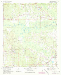
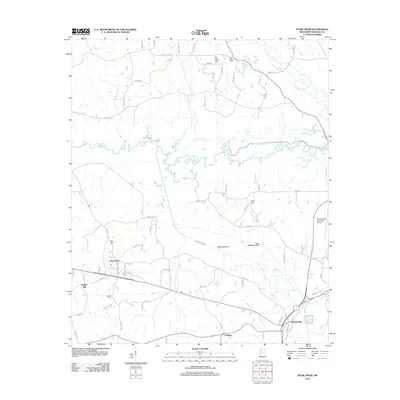
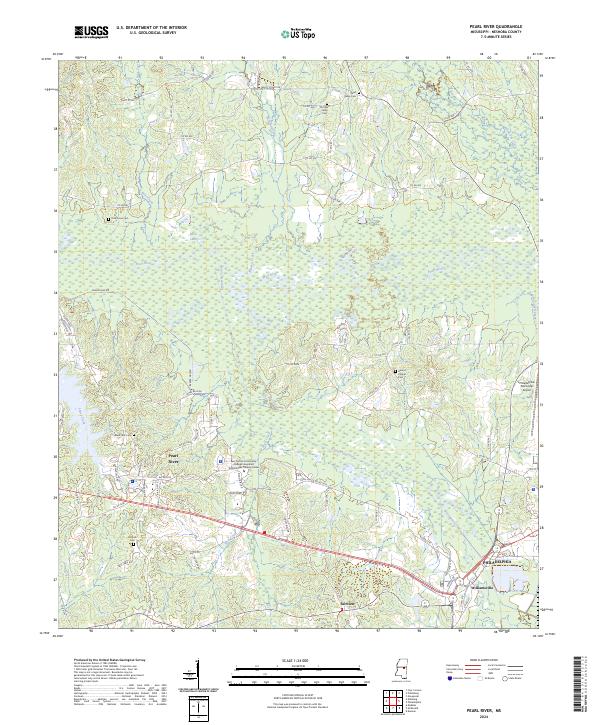
Philadelphia and its neighboring communities of Williamsville and Fairview anchor the southeastern corner of this modern topographic record. The landscape is defined by the winding course of the Pearl River and the extensive Kentawka Canal system, which manages the local hydrology alongside several smaller tributaries like Jofuska Creek and Bear Creek. The map provides significant genealogical value through its clear documentation of rural burial grounds, including McNeill Cem, Black Jack Cem, and both the new and Old Pearl Valley Cem. Industrial and educational developments are visible in the proximity of Philadelphia Municipal Airport and the East Central Community College Integrated Technologies Training Center. A network of county roads, such as Marty Stuart Dr and Beaver Dam Rd, connects these residential and agricultural areas across the Neshoba County terrain.
Find a feature on this map
84 named features on this map. Tap any name to fly to it.
Don’t see what you’re looking for? This feature index may not catch every label — zoom into the map to look around manually.
Map Details
Editions of this 2024 Pearl River Map
This is the sole edition of this map. No revisions or reprints were ever made.
Historical Maps of Philadelphia Through Time
6 maps found