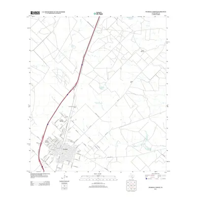
2013 Map of Pearsall North
USGS Topo · Published 2013About this map
The northern reaches of Pearsall are documented here in detail, showcasing the grid expansion of this Frio County seat. The town's residential and commercial core transitions into peripheral developments like North Pearsall and West Pearsall, while the historical Pearsall Cem remains a central landmark for local genealogy. To the north, the Agricultural Supplies Airport reflects the area's ongoing connection to regional aviation and industry.
Find a feature on this map
81 named features on this map. Tap any name to fly to it.
Don’t see what you’re looking for? This feature index may not catch every label — zoom into the map to look around manually.
Map Details
Editions of this 2013 Pearsall North Map
This is the sole edition of this map. No revisions or reprints were ever made.
Other maps of this area

1925 · Pearsall 1-b
USGS Topo · 1:48,000

1925 · Pearsall 1-c
USGS Topo · 1:48,000

1927 · Pearsall
USGS Topo · 1:62,500

1934 · Schattel
USGS Topo · 1:62,500

1942 · Natalia
USGS Topo · 1:62,500

1953 · Crystal City
USGS Topo · 1:250,000

1954 · San Antonio
USGS Topo · 1:250,000

1955 · Crystal City
USGS Topo · 1:250,000

1957 · San Antonio
USGS Topo · 1:250,000

1961 · Crystal City
USGS Topo · 1:250,000
Featured Places
- Pearsall, TX
- West Pearsall, Pearsall
- North Pearsall, TX
- Pearsall East Colonia, TX
- Alta Vista Colonia, Pearsall