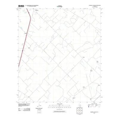
2010 Map of Pearsall South
USGS Topo · Published 2010About this map
Pearsall anchors the northern edge of this Brush Country landscape, where the settlement pattern transitions into a network of expansive ranch lands and rural infrastructure. The area is defined by the ephemeral drainages of Lockhardt Creek and Mule Creek, which cut through a terrain marked by numerous windmills essential for livestock, such as the Shipping Trap Windmill and the Jim and Roy Windmill. These features reflect a legacy of cattle ranching that persisted into the early 21st century.
Find a feature on this map
21 named features on this map. Tap any name to fly to it.
Don’t see what you’re looking for? This feature index may not catch every label — zoom into the map to look around manually.
Map Details
Editions of this 2010 Pearsall South Map
This is the sole edition of this map. No revisions or reprints were ever made.
Other maps of this area

1925 · Pearsall 1-b
USGS Topo · 1:48,000

1925 · Pearsall 1-c
USGS Topo · 1:48,000

1927 · Pearsall
USGS Topo · 1:62,500

1934 · Schattel
USGS Topo · 1:62,500

1942 · Dilley
USGS Topo · 1:62,500

1953 · Crystal City
USGS Topo · 1:250,000

1955 · Crystal City
USGS Topo · 1:250,000

1956 · Hindes
USGS Topo · 1:62,500

1961 · Crystal City
USGS Topo · 1:250,000

1964 · Pearsall South
USGS Topo · 1:24,000