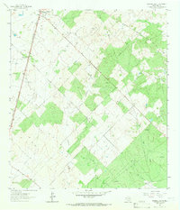
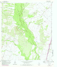
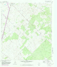
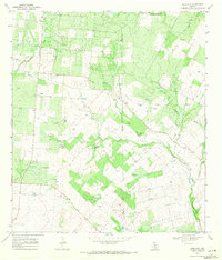
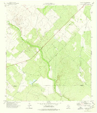
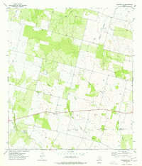
1964 Map of Pearsall South
USGS Topo · Published 1966This historical map portrays the area of Pearsall South in 1964, primarily covering Frio County. Featuring a scale of 1:24000, this map provides a highly detailed snapshot of the terrain, roads, buildings, counties, and historical landmarks in the Pearsall South region at the time. Published in 1966, it is one of 2 known editions of this map due to revisions or reprints.
Find a feature on this map
19 named features on this map. Tap any name to fly to it.
Don’t see what you’re looking for? This feature index may not catch every label — zoom into the map to look around manually.
Map Details
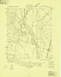
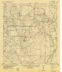
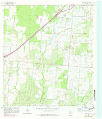
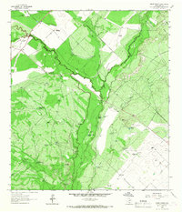
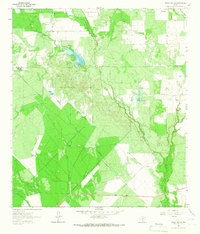
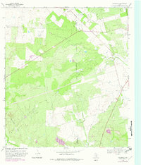
Editions of this 1964 Pearsall South Map
2 editions found
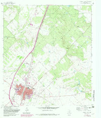
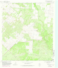
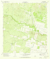
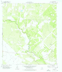
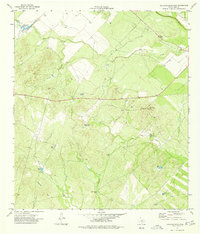
Historical Maps of Melon Through Time
22 maps found

1925 Pearsall 1-b
Frio County, TX
1925 Pearsall 1-c
Frio County, TX
1934 Schattel
Frio County, TX

1942 Divot
Frio County, TX
1956 Divot
Frio County, TX
1964 Derby
Frio County, TX
1964 Ghost Hill
Frio County, TX
1964 Halff Ranch
Frio County, TX
1964 Pearsall North
Frio County, TX
1964 Pearsall South
Frio County, TX
1964 Wilson Ranch
Frio County, TX
1968 Goldfinch
Frio County, TX
1968 Keystone Ranch
Frio County, TX
1968 Schattel
Frio County, TX
1968 Schattel NW
Frio County, TX
1969 Hindes
Frio County, TX
1969 Las Flores
Frio County, TX
1974 Dilley NE
Frio County, TX
1974 Divot
Frio County, TX
1974 Frio Town
Frio County, TX
1974 Holcomb Reservoir
Frio County, TX
1974 Woodward NE
Frio County, TX