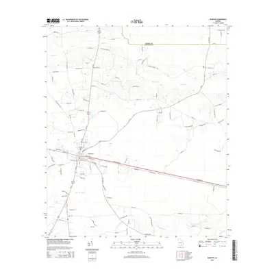
2014 Map of Pearson
USGS Topo · Published 2014About this map
Pearson serves as the central hub of this Atkinson County landscape, where the confluence of several coastal plain waterways shapes the local geography. The town's grid is situated just south of where Sweetwater Cr and Pudding Cr flow toward the meandering Satilla River, a significant drainage system for this corner of Georgia. The terrain is marked by family-named roads and rural infrastructure that reflect the area's agricultural and timber-based heritage, including Tobacco Ln and Grady Hall Rd.
Find a feature on this map
96 named features on this map. Tap any name to fly to it.
Don’t see what you’re looking for? This feature index may not catch every label — zoom into the map to look around manually.
Map Details
Editions of this 2014 Pearson Map
This is the sole edition of this map. No revisions or reprints were ever made.
Other maps of this area

1953 · Waycross
USGS Topo · 1:250,000

1958 · Waycross
USGS Topo · 1:250,000

1968 · Cogdell
USGS Topo · 1:24,000

1971 · Douglas South
USGS Topo · 1:24,000

1971 · Wilsonville
USGS Topo · 1:24,000

1971 · Axson
USGS Topo · 1:24,000

1971 · Pearson
USGS Topo · 1:24,000

1972 · Kirkland
USGS Topo · 1:24,000

1972 · Sandy Bottom
USGS Topo · 1:24,000

1972 · Henderson Still
USGS Topo · 1:24,000