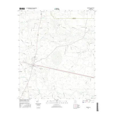
2017 Map of Pearson
USGS Topo · Published 2017About this map
Pearson serves as the central hub of this South Georgia landscape, where the town layout meets a complex network of local roads and watercourses. The terrain is defined by the Satilla River as it winds through the northern and eastern portions of the quadrangle, joined by tributaries such as Pudding Cr and Sweetwater Cr. A notable environmental feature is Ricketson Bay, reflecting the distinctive wetland geography of the region. Local history and genealogy interests are centered on sites like Kight Cem, while the southern reaches are marked by the drainage of Little Red Bluff Creek. The map documents a rural economy transitioning through the early 21st century, showing the intersection of agricultural lands and natural drainages like Red Bluff Cr near the border of Coffee Co and Atkinson Co.
Find a feature on this map
94 named features on this map. Tap any name to fly to it.
Don’t see what you’re looking for? This feature index may not catch every label — zoom into the map to look around manually.
Map Details
Editions of this 2017 Pearson Map
This is the sole edition of this map. No revisions or reprints were ever made.
Other maps of this area

1953 · Waycross
USGS Topo · 1:250,000

1958 · Waycross
USGS Topo · 1:250,000

1968 · Cogdell
USGS Topo · 1:24,000

1971 · Douglas South
USGS Topo · 1:24,000

1971 · Wilsonville
USGS Topo · 1:24,000

1971 · Axson
USGS Topo · 1:24,000

1971 · Pearson
USGS Topo · 1:24,000

1972 · Kirkland
USGS Topo · 1:24,000

1972 · Sandy Bottom
USGS Topo · 1:24,000

1972 · Henderson Still
USGS Topo · 1:24,000