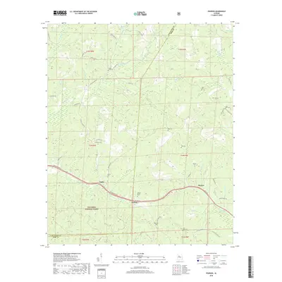
2018 Map of Pearson
USGS Topo · Published 2018About this map
Talladega National Forest land dominates the southwestern portion of this map, characterizing a landscape defined by rolling ridge-and-valley terrain and numerous named branches. The small settlements of Hagler, Pearson, and Harmon are connected by McFarland Blvd E, with several family-named roads like Clements Rd and Serdy Boyd Rd providing access to the more remote areas. This territory is dotted with numerous small burial grounds, including the Sandy Creek Cem, Hubbard Springs Cem, and Cedar Grove Cem, which serve as vital markers for local genealogical research. Water sources are abundant, from the Big Sandy Spring and Big Sandy Creek to the smaller Lick Br and Bear Cr, illustrating the drainage patterns that shaped early settlement in this part of Tuscaloosa and Bibb counties.
Find a feature on this map
64 named features on this map. Tap any name to fly to it.
Don’t see what you’re looking for? This feature index may not catch every label — zoom into the map to look around manually.
Map Details
Editions of this 2018 Pearson Map
This is the sole edition of this map. No revisions or reprints were ever made.
Other maps of this area

1899 · Brookwood
USGS Topo · 1:125,000

1931 · Cottondale
USGS Topo · 1:48,000

1934 · Cottondale
USGS Topo · 1:62,500

1934 · Blocton
USGS Topo · 1:48,000

1940 · Blocton
USGS Topo · 1:62,500

1953 · Montgomery
USGS Topo · 1:250,000

1953 · Birmingham
USGS Topo · 1:250,000

1956 · Birmingham
USGS Topo · 1:250,000

1956 · Montgomery
USGS Topo · 1:250,000

1957 · Birmingham
USGS Topo · 1:250,000