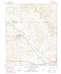
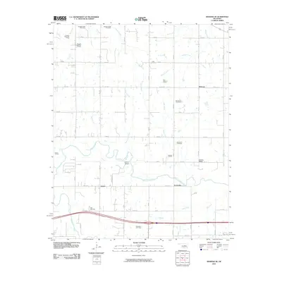
1958 Map of Pearson
USGS Topo · Published 1977About this map
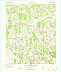
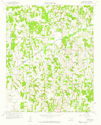
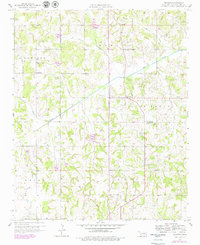
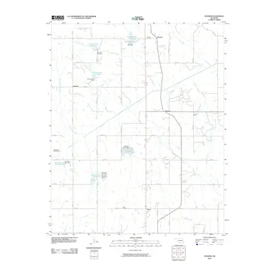
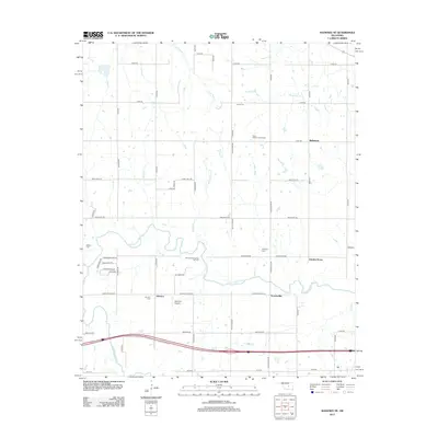
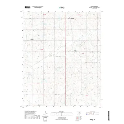
The Oklahoma oil economy of the late 1950s is on full display across this Pottawatomie County landscape. Oil Wells are densely scattered throughout the region, particularly concentrated in the St Louis Oil Field and the Burnett Oil Field. These industrial sites exist alongside a rural network of small communities and social centers, such as Romulus, Anderson, and Pearson. The survey captures the infrastructure supporting this petroleum production, including a Pumping Station and numerous local roads connecting the rigs to larger hubs like Avoca.
Find a feature on this map
26 named features on this map. Tap any name to fly to it.
Don’t see what you’re looking for? This feature index may not catch every label — zoom into the map to look around manually.
Map Details
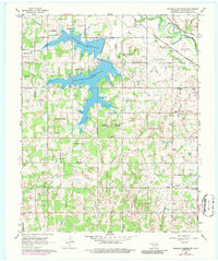
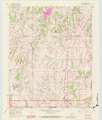
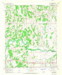
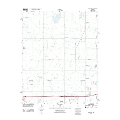
Editions of this 1958 Pearson Map
3 editions found
Historical Maps of Asher Through Time
31 maps found
1910 McComb
Pottawatomie County, OK
1958 Pearson
Pottawatomie County, OK
1966 Mc Loud
Pottawatomie County, OK
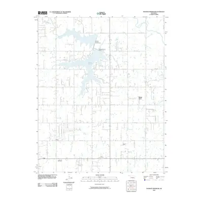
1966 Shawnee Reservoir
Pottawatomie County, OK
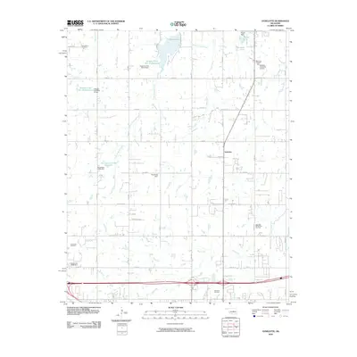
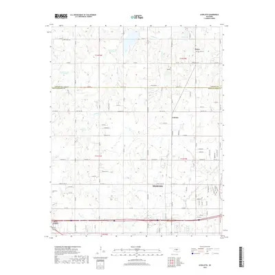
1967 Aydelotte
Pottawatomie County, OK
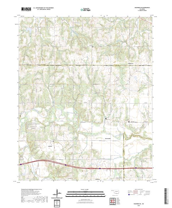
1967 Shawnee NE
Pottawatomie County, OK
2009 Saint Louis
Pottawatomie County, OK
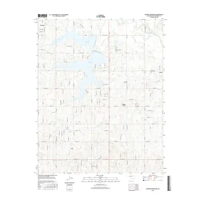
2009 Shawnee Reservoir
Pottawatomie County, OK
2010 Aydelotte
Pottawatomie County, OK
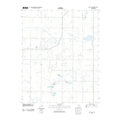
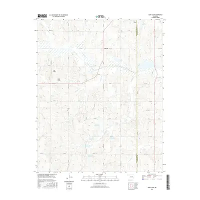
2010 Pearson
Pottawatomie County, OK
2010 Shawnee NE
Pottawatomie County, OK
2012 Aydelotte
Pottawatomie County, OK
2012 Pearson
Pottawatomie County, OK
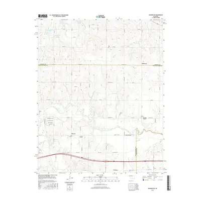
2012 Saint Louis
Pottawatomie County, OK
2012 Shawnee NE
Pottawatomie County, OK
2012 Shawnee Reservoir
Pottawatomie County, OK
2016 Aydelotte
Pottawatomie County, OK
2016 Pearson
Pottawatomie County, OK
2016 Saint Louis
Pottawatomie County, OK
2016 Shawnee NE
Pottawatomie County, OK
2016 Shawnee Reservoir
Pottawatomie County, OK
2018 Aydelotte
Pottawatomie County, OK
2018 Pearson
Pottawatomie County, OK
2018 Saint Louis
Pottawatomie County, OK
2018 Shawnee NE
Pottawatomie County, OK
2018 Shawnee Reservoir
Pottawatomie County, OK
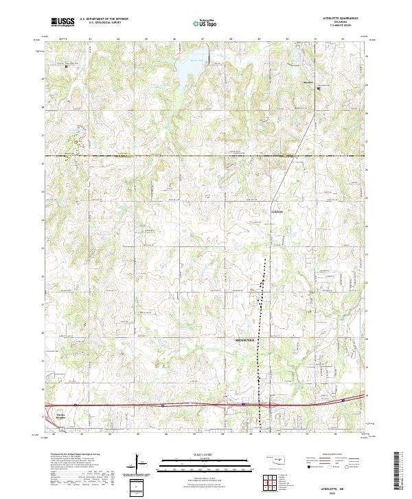
2022 Aydelotte
Pottawatomie County, OK
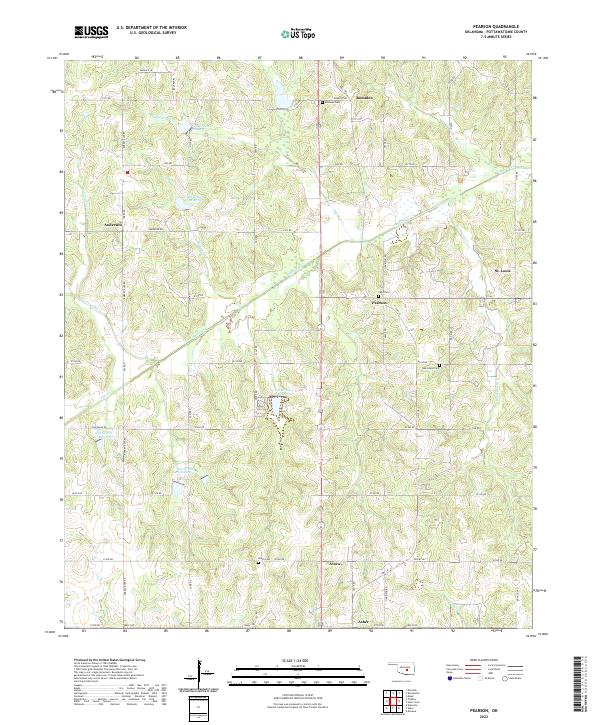
2022 Pearson
Pottawatomie County, OK
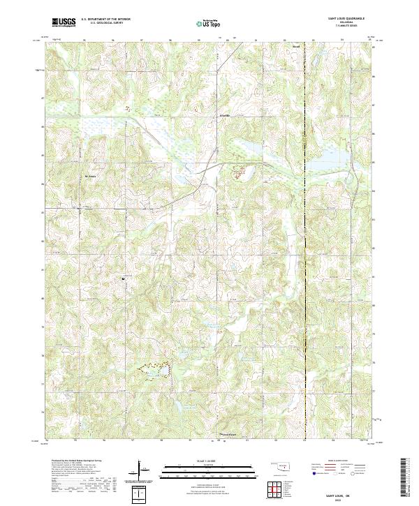
2022 Saint Louis
Pottawatomie County, OK
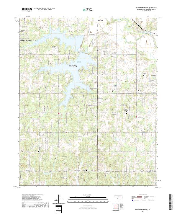
2022 Shawnee Reservoir
Pottawatomie County, OK
2023 Shawnee NE
Pottawatomie County, OK