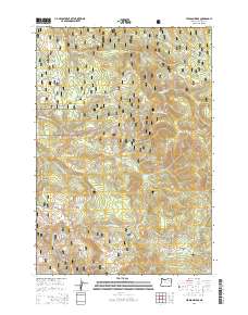
2014 Map of Pearson Ridge
USGS Topo · Published 2014About this map
The Umatilla National Forest in Umatilla County is characterized by a series of high ridges and alpine meadows, centered on the prominent Pearson Ridge. This territory, surveyed by the U.S. Geological Survey in the early 21st century, illustrates a landscape managed for conservation and forestry, where the drainage patterns of the North Fork Cable Cr and South Fork Cable Cr have carved out significant topographic basins. These watercourses converge toward the western edge of the map, while to the east, Winom Cr and its associated Winom Meadows dominate the terrain.
Find a feature on this map
38 named features on this map. Tap any name to fly to it.
Don’t see what you’re looking for? This feature index may not catch every label — zoom into the map to look around manually.
Map Details
Editions of this 2014 Pearson Ridge Map
This is the sole edition of this map. No revisions or reprints were ever made.
Other maps of this area

1951 · Dale
USGS Topo · 1:62,500

1951 · Desolation Butte
USGS Topo · 1:62,500

1953 · Pendleton
USGS Topo · 1:250,000

1955 · Canyon City
USGS Topo · 1:250,000

1956 · Pendleton
USGS Topo · 1:250,000

1959 · Canyon City
USGS Topo · 1:250,000

1967 · Ukiah SE
USGS Topo · 1:24,000

1967 · Tower Mtn
USGS Topo · 1:24,000

1967 · Sullivan Gulch
USGS Topo · 1:24,000

1967 · Lehman Springs
USGS Topo · 1:24,000