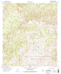
1954 Map of Peason
USGS Topo · Published 1958About this map
Peason and the surrounding pine woods of Sabine Parish appear in this 1950s survey as a landscape defined by both timber history and military utility. The map shows the legacy of the local lumber industry through the extensive network of dismantled railroads that once served the Peason sawmill, snaking through the drainages of Kisatchie Bayou and Wolf Prong Branch. These former rail lines provide a clear record of early 20th-century industrial patterns in the Louisiana hill country.
Find a feature on this map
28 named features on this map. Tap any name to fly to it.
Don’t see what you’re looking for? This feature index may not catch every label — zoom into the map to look around manually.
Map Details
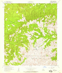
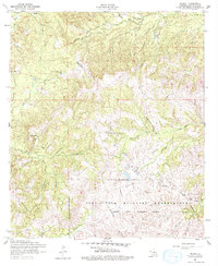
Editions of this 1954 Peason Map
3 editions found
Other maps of this area

1937 · Bellwood
USGS Topo · 1:31,680

1942 · Many
USGS Topo · 1:62,500

1942 · Florien
USGS Topo · 1:62,500

1942 · Kisatchie
USGS Topo · 1:62,500

1943 · Many
USGS Topo · 1:62,500

1943 · Kisatchie
USGS Topo · 1:62,500

1943 · Provencal
USGS Topo · 1:62,500

1944 · Florien
USGS Topo · 1:62,500

1945 · Provencal
USGS Topo · 1:62,500

1953 · Alexandria
USGS Topo · 1:250,000