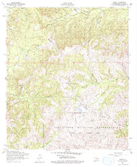
1954 Map of Peason
USGS Topo · Published 1978About this map
Peason and Corleyville occupy a transitional landscape in Sabine Parish where early timber interests and mid-century military expansion meet. The map reveals the infrastructure of a fading industrial era, most notably the traces of a Dismantled Railroad that once navigated the drainage basins of Mill Creek and Wolf Prong Branch. This winding rail path contrasts with the emerging modern footprint of the Fort Polk Military Reservation, which dominates the southern half of the quadrangle with the Peason Ridge Artillery Range.
Find a feature on this map
30 named features on this map. Tap any name to fly to it.
Don’t see what you’re looking for? This feature index may not catch every label — zoom into the map to look around manually.
Map Details
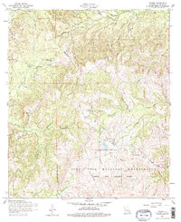
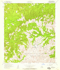
Editions of this 1954 Peason Map
3 editions found
Other maps of this area

1937 · Bellwood
USGS Topo · 1:31,680

1942 · Many
USGS Topo · 1:62,500

1942 · Florien
USGS Topo · 1:62,500

1942 · Kisatchie
USGS Topo · 1:62,500

1943 · Many
USGS Topo · 1:62,500

1943 · Kisatchie
USGS Topo · 1:62,500

1943 · Provencal
USGS Topo · 1:62,500

1944 · Florien
USGS Topo · 1:62,500

1945 · Provencal
USGS Topo · 1:62,500

1953 · Alexandria
USGS Topo · 1:250,000