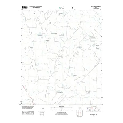
2010 Map of Pecan Creek
USGS Topo · Published 2010About this map
Pecan Creek and its many tributaries, including Catlett Creek and Twin Pond Creek, define the landscape of this Wise County region just north of Decatur. The area is characterized by an extensive water management system, illustrated by numerous Soil Conservation Service dams such as Soil Conservation Service Site 18a-1 Dam and Soil Conservation Service Site 23a Dam. These structures are integrated into a rural network of county roads and private lanes that connect family-named landmarks and local burial grounds. Genealogists and local historians can locate Flat Rock Cemetery near the upper reaches of Black Creek or find Oaklawn Cemetery situated along Greenwood Rd. The map also traces the path of Old Decatur Rd and several primary routes like FM 730 and Bus 81 Bus 287 as they traverse the countryside.
Find a feature on this map
58 named features on this map. Tap any name to fly to it.
Don’t see what you’re looking for? This feature index may not catch every label — zoom into the map to look around manually.
Map Details
Editions of this 2010 Pecan Creek Map
This is the sole edition of this map. No revisions or reprints were ever made.
Other maps of this area

1930 · Boyd
USGS Topo · 1:62,500

1954 · Sherman
USGS Topo · 1:250,000

1958 · Sherman
USGS Topo · 1:250,000

1960 · Bridgeport East
USGS Topo · 1:24,000

1960 · Decatur
USGS Topo · 1:24,000

1960 · Bluett
USGS Topo · 1:24,000

1961 · Pecan Creek
USGS Topo · 1:24,000

1961 · Alvord
USGS Topo · 1:24,000

1961 · New Harp
USGS Topo · 1:24,000

1961 · Slidell
USGS Topo · 1:24,000