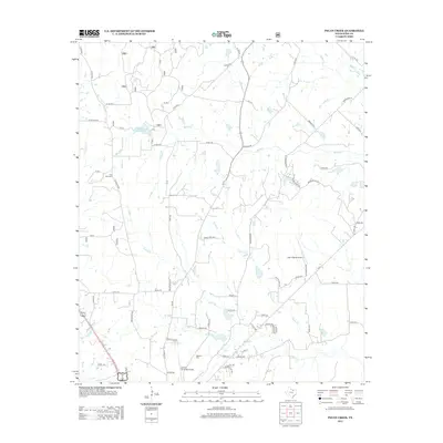
2013 Map of Pecan Creek
USGS Topo · Published 2013About this map
Pecan Creek and its many tributaries, including Catlett Creek and Black Creek, define the rural landscape of Wise County north of the county seat. This 2013 survey by the U.S. Geological Survey illustrates a region where aviation and traditional land use intersect. Both the Decatur Municipal Airport and the private Lazy 9 Ranch Airport are prominent landmarks, suggesting a mix of public infrastructure and private ranching interests. Local history is anchored by Oaklawn Cemetery and the more remote Flat Rock Cemetery, while the presence of the Black Creek Reservoir indicates the importance of water management in this part of North Texas. The road network, including the historic Old Decatur Road, connects these drainage basins and aviation sites, reflecting the modern evolution of these family-named lands.
Find a feature on this map
60 named features on this map. Tap any name to fly to it.
Don’t see what you’re looking for? This feature index may not catch every label — zoom into the map to look around manually.
Map Details
Editions of this 2013 Pecan Creek Map
This is the sole edition of this map. No revisions or reprints were ever made.
Other maps of this area

1930 · Boyd
USGS Topo · 1:62,500

1954 · Sherman
USGS Topo · 1:250,000

1958 · Sherman
USGS Topo · 1:250,000

1960 · Bridgeport East
USGS Topo · 1:24,000

1960 · Decatur
USGS Topo · 1:24,000

1960 · Bluett
USGS Topo · 1:24,000

1961 · Pecan Creek
USGS Topo · 1:24,000

1961 · Alvord
USGS Topo · 1:24,000

1961 · New Harp
USGS Topo · 1:24,000

1961 · Slidell
USGS Topo · 1:24,000