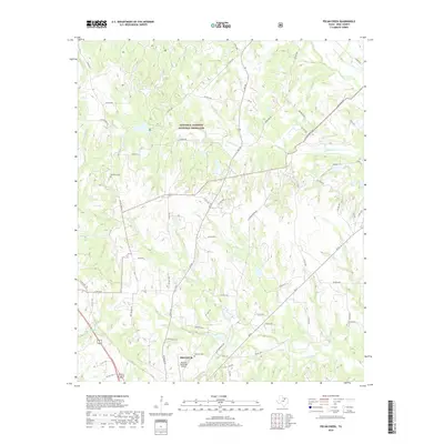
2019 Map of Pecan Creek
USGS Topo · Published 2019About this map
Lyndon B. Johnson National Grassland dominates the northern half of this North Texas terrain, where the landscape is carved by the drainages of Black Cr and Denton Cr. The southern portion of the quadrangle shows the expansion of Decatur, with its municipal airport and local infrastructure including Country Club Rd and Cemetery Rd. Genealogists and local historians can find several notable burial sites preserved here, including Flat Rock Cem in the northwest and Oaklawn Cem near the city center. The transition from public grassland to the city limits is marked by a network of rural routes like Old Decatur Rd and Old Greenwood Rd, which follow the higher ground between the winding banks of Catlett Cr and Pecan Cr.
Find a feature on this map
60 named features on this map. Tap any name to fly to it.
Don’t see what you’re looking for? This feature index may not catch every label — zoom into the map to look around manually.
Map Details
Editions of this 2019 Pecan Creek Map
This is the sole edition of this map. No revisions or reprints were ever made.
Other maps of this area

1930 · Boyd
USGS Topo · 1:62,500

1954 · Sherman
USGS Topo · 1:250,000

1958 · Sherman
USGS Topo · 1:250,000

1960 · Bridgeport East
USGS Topo · 1:24,000

1960 · Decatur
USGS Topo · 1:24,000

1960 · Bluett
USGS Topo · 1:24,000

1961 · Pecan Creek
USGS Topo · 1:24,000

1961 · Alvord
USGS Topo · 1:24,000

1961 · New Harp
USGS Topo · 1:24,000

1961 · Slidell
USGS Topo · 1:24,000