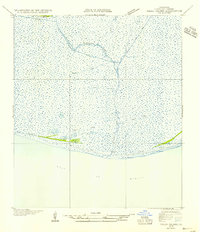
1954 Map of Pecan Island SE
USGS Topo · Published 1954About this map
Freshwater Bayou and the Belle Isle Canal carve through the coastal marshlands of Vermilion Parish in this mid-century topographic survey. The landscape is defined by the thin, firm lines of cheniers—low-lying sandy ridges such as Front Ridge, Beef Ridge, and Sand Ridge—which provided the only stable ground for travel and settlement in an otherwise fluid environment. These ridges, including the isolated Mulberry Island, stand as distinct topographic breaks against the massive expanse of wetlands leading to the Gulf of Mexico. The presence of several stretches labeled Pirogue Trail highlights the specialized waterborne transit of the era, where small, traditional boats were essential for navigating the shallow interior waters. This map, compiled from 1932 field examinations and Army Air Corps aerial photography, documents the intricate drainage patterns and natural banks, such as Shelf Bank, that shaped the life and economy of the Louisiana coast before modern coastal erosion and engineering significantly altered the shoreline.
Find a feature on this map
11 named features on this map. Tap any name to fly to it.
Don’t see what you’re looking for? This feature index may not catch every label — zoom into the map to look around manually.
Map Details
Editions of this 1954 Pecan Island SE Map
2 editions found
Other maps of this area

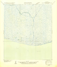
1932 · Pecan Island SE
USGS Topo · 1:31,680

1932 · Pecan Island SW
USGS Topo · 1:31,680

1945 · Pecan Island NW
USGS Topo · 1:31,680

1945 · Pecan Island NE
USGS Topo · 1:31,680

1946 · Redfish Point SW
USGS Topo · 1:31,680

1946 · Redfish Point NW
USGS Topo · 1:31,680

1951 · Pecan Island
USGS Topo · 1:62,500

1951 · Cheniere Au Tigre
USGS Topo · 1:62,500
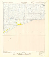
1954 · Redfish Point SW
USGS Topo · 1:31,680
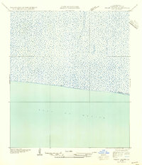
1954 · Pecan Island SW
USGS Topo · 1:31,680